
District Westerwaldkreis Elevation 305 m (1,001 ft) Area 3.91 km² Local time Thursday 1:35 PM Dialling code 02602 | Time zone CET/CEST (UTC+1/+2) Population 853 (31 Dec 2008) Postal code 56244 | |
 | ||
Weather 15°C, Wind S at 6 km/h, 42% Humidity | ||
Leuterod is an Ortsgemeinde – a community belonging to a Verbandsgemeinde – in the Westerwaldkreis in Rhineland-Palatinate, Germany.
Contents
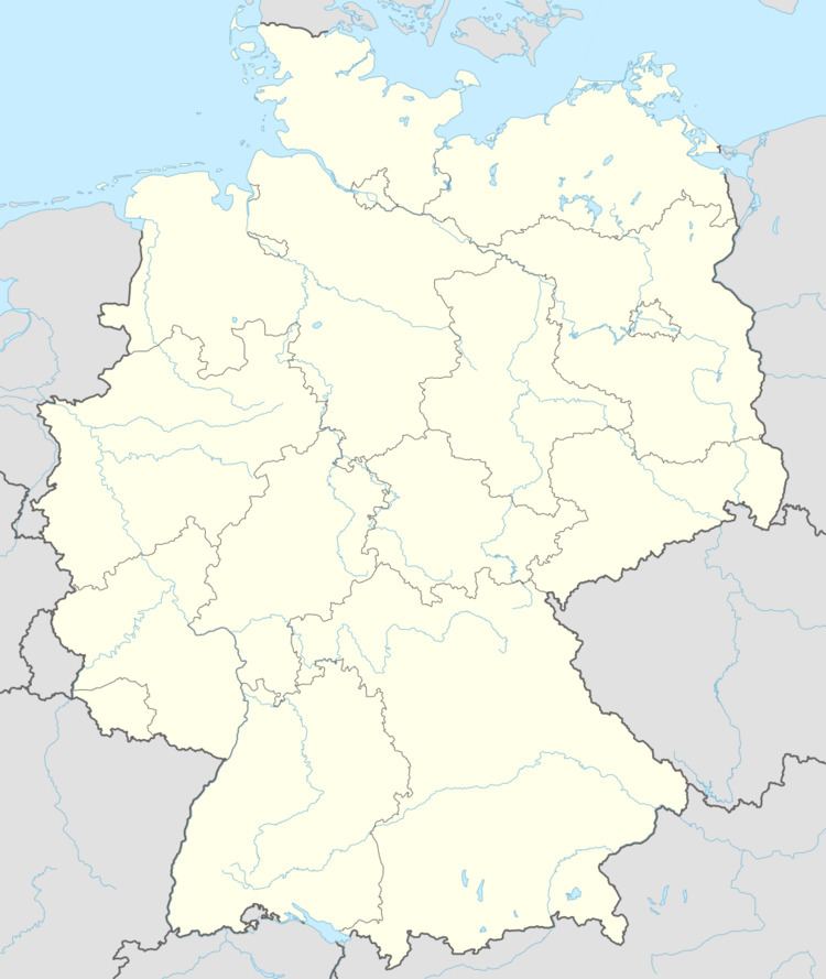
- Map of 56244 Leuterod Germany
- Neighbouring communities
- Location
- Constituent communities
- History
- Community council
- Transport
- Clubs
- References
Map of 56244 Leuterod, Germany
Neighbouring communities
Leuterod’s immediate neighbours are Moschheim in the southeast, Ötzingen in the northeast, Siershahn in the west and Wirges in the southwest.
Location
Together with the first two communities named above, Leuterod borders in the east on the Malberg, whose elevation of 422 m above sea level makes it the most notable feature on the landscape north of Montabaur. Through the community flows the Aubach, which – in the local way of seeing things – splits the community into two areas (Bereiche in German): the Unterdorf (“Lower Village”) and the Insel (“Island”). The community belongs to the Verbandsgemeinde of Wirges, a kind of collective municipality.
Constituent communities
Leuterod’s Ortsteile are Leuterod and Hosten.
History
Leuterod’s history reaches very far back. Finds on the Malberg confirm the existence of a Celtic hill fort (a place of worship) built there sometime between 800 and 600 BC.
In 1362, Leuterod had its first documentary mention as Wendel de lutereide. Somewhat earlier, in 1311, the outlying centre of Hosten had been mentioned as Hovesteden. Leuterod and Hosten lay at this time in the parish of Montabaur, whereby the Lords of St. Florin in Koblenz held the tithing rights.
In 1563, 12 “hearths” (Feuerstätten, that is to say, families) were counted in Leuterod. One hundred and twenty years later, owing to the frightful aftermath of the Thirty Years' War, there was only one left. According to sagas, the community was utterly destroyed in this time and then built once more on a different spot. The Altendorfer Weg, according to the saga, is supposedly the road to the village’s former site.
Until 1803, Leuterod belonged to the Electorate of Trier, when it passed to the Duchy of Nassau, and thereby also to Prussia in 1866.
Moreover, worth mentioning is that already by 1563, an hereditary mill (gristmill) was mentioned in the community.
Community council
The council is made up of 13 council members, including the extraofficial mayor (Bürgermeister), who were elected in a majority vote in a municipal election on 13 June 2004.
Transport
East of the community runs Bundesstraße 255, linking Montabaur and Rennerod. The nearest Autobahn interchanges are Mogendorf and Montabaur, both on the A 3 (Cologne–Frankfurt), both 5 km away each. The nearest InterCityExpress stop is the railway station at Montabaur on the Cologne-Frankfurt high-speed rail line.