
District Westerwaldkreis Elevation 272 m (892 ft) Area 3.44 km² Population 760 (31 Dec 2008) Dialling code 02602 | Time zone CET/CEST (UTC+1/+2) Local time Sunday 10:04 AM Postal code 56424 | |
 | ||
Weather 11°C, Wind SW at 19 km/h, 90% Humidity | ||
Moschheim is an Ortsgemeinde – a community belonging to a Verbandsgemeinde – in the Westerwaldkreis in Rhineland-Palatinate, Germany.
Contents
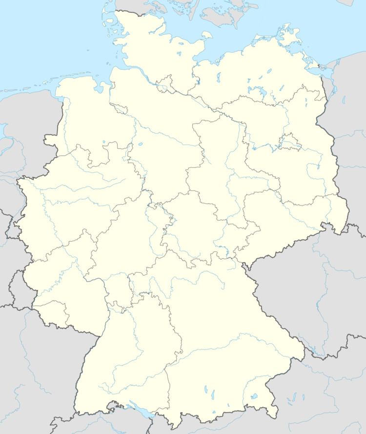
Map of Moschheim, Germany
Location
The community lies north of Montabaur on the Kannenbäckerstraße (“Jug Bakers’ Road”, a reference to the local ceramics industry). The community has since 1971 belonged to what was then the newly founded Verbandsgemeinde of Wirges, a kind of collective municipality. Its seat is in the like-named town.
In the north of the municipal area stands the Malberg, which at 422 m above sea level is one of the greatest elevations in the area.
History
In 1362, Moschheim had its first documentary mention.
Community council
The council is made up of 13 council members, including the extraofficial mayor (Bürgermeister), who were elected in a majority vote in a municipal election on 13 June 2004.
Transport
East of the community runs Bundesstraße 255, linking Montabaur and Rennerod. The nearest Autobahn interchange is Montabaur on the A 3 (Cologne–Frankfurt), some 3 km away. The nearest InterCityExpress stop is the railway station at Montabaur on the Cologne-Frankfurt high-speed rail line.