
Area 1,046 km² Unemployment rate 9.4% (Apr 2015) | Founded 1878 Population 11,019 (2013) Cities Hyden | |
 | ||
Website www.lesliecounty.ky.gov University Frontier Nursing University Rivers Red Bird River, Beech Fork, Greasy Creek, Phillips Fork | ||
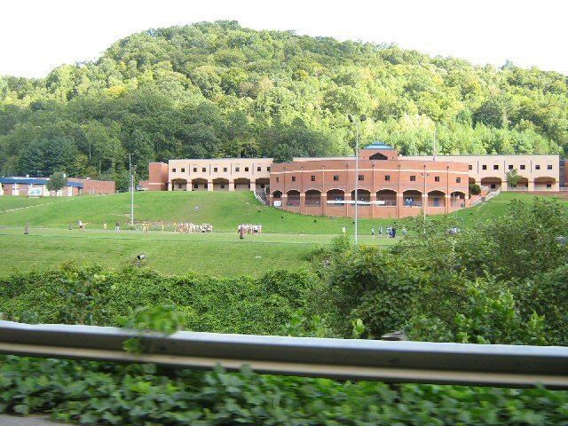
Leslie County is a county located in the U.S. state of Kentucky. As of the 2010 census, the population was 11,310. Its county seat is Hyden. Leslie is a prohibition or dry county.
Contents
- Map of Leslie County KY USA
- History
- Geography
- Adjacent counties
- Demographics
- Coal companies in Leslie County
- Transportation
- Communities
- References
Map of Leslie County, KY, USA
History
Leslie County was founded in 1878. It was named for Preston H. Leslie, Governor of Kentucky (1871-1875).
The Hurricane Creek mine disaster in a Leslie County coal mine in 1970 killed 38 people.
Richard Nixon made his first public appearance after resigning the presidency at the Leslie County dedication of a recreation facility named for him. County Judge-Executive C. Allen Muncy claimed the Nixon invitation prompted the U.S. Department of Justice to obtain indictments of him and his associates on vote-fraud charges; while on appeal for his conviction, he won renomination in the Republican primary but lost the 1981 general election to independent Kermit Keen.
Geography
According to the U.S. Census Bureau, the county has a total area of 404 square miles (1,050 km2), of which 401 square miles (1,040 km2) is land and 3.6 square miles (9.3 km2) (0.9%) is water.
Adjacent counties
Demographics
As of the census of 2000, there were 12,401 people, 4,885 households, and 3,668 families residing in the county. The population density was 31 per square mile (12/km2). There were 5,502 housing units at an average density of 14 per square mile (5.4/km2). The racial makeup of the county was 97.18% White, 0.07% Black or African American, 0.09% Native American, 0.12% Asian, 0.02% Pacific Islander, 0.05% from other races, and 0.50% from two or more races; 0.62% of the population were Hispanic or Latino of any race.
There were 4,885 households out of which 35.50% had children under the age of 18 living with them, 58.30% were married couples living together, 12.90% had a female householder with no husband present, and 24.90% were non-families. 22.40% of all households were made up of individuals and 8.70% had someone living alone who was 65 years of age or older. The average household size was 2.52 and the average family size was 2.94.
In the county, the population was spread out with 24.60% under the age of 18, 9.20% from 18 to 24, 30.90% from 25 to 44, 23.90% from 45 to 64, and 11.50% who were 65 years of age or older. The median age was 36 years. For every 100 females there were 95.10 males. For every 100 females age 18 and over, there were 91.20 males.
The median income for a household in the county was $18,546, and the median income for a family was $22,225. Males had a median income of $28,708 versus $18,080 for females. The per capita income for the county was $10,429. About 30.20% of families and 32.70% of the population were below the poverty line, including 38.80% of those under age 18 and 27.00% of those age 65 or over.
Coal companies in Leslie County
Transportation
Public transportation is provided by LKLP Community Action Partnership with demand-response service and scheduled service from Hyden to Hazard.