
Top elevation 2,620 m (8,596 ft) Lift system 73 | Base elevation 1,150 m (3,773 ft) Phone +33 4 79 83 02 55 | |
 | ||
Website Les Sybelles websiteLa Toussuire website Hours Open today · 8:45AM–7PMThursday8:45AM–7PMFriday8:45AM–7PMSaturday8:45AM–7PMSunday8:45AM–7PMMonday8:45AM–7PMTuesday8:45AM–7PMWednesday8:45AM–7PM Similar Le Corbier, Alps, Maurienne, Val Cenis Vanoise, Paradiski Profiles | ||
Les sybelles 2017
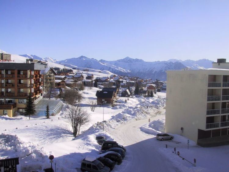
Les Sybelles is a French linked ski area, located in the Savoie department in the Alps. It is one of the largest skiable domains in France. The resort was the home base of Jean-Pierre Vidal, winner of the gold medal in slalom at the 2002 Winter Olympics in Salt Lake City.
Contents
- Les sybelles 2017
- Snowpark le corbier les sybelles 2016 time of drone
- Slopes
- Villages
- Cycle racing
- Details of the climb
- References
The ski station is also used regularly as the finish of cycle races including the Tour de France and the Critérium du Dauphiné.
Snowpark le corbier les sybelles 2016 time of drone
Slopes
Villages
The following villages are part of the ski resort of Les Sybelles:
Cycle racing
The 16th stage of the 2006 Tour de France arrived in La Toussuire as did Stage 11 of the 2012 Tour and Stage 19 of the 2015 Tour. The first of two L'Étape du Tours followed the route of Stage 11 on 8 July 2012 with a finish at La Toussuire – Les Sybelles.
Details of the climb
The climb to the ski-station is accessed from Saint-Jean-de-Maurienne via the D929 and the D78, with the finish line at 1,705 m (5,594 ft). From this direction the climb is 18 km (11.2 mi) with a height gain of 1,095 m. at an average of 6.1%. There is a shorter and steeper route via Saint-Pancrace (17.6 km. at 6.5%).