
Time zone CET (UTC+1) Area 6.49 km² Local time Thursday 12:20 AM | Region Île-de-France Canton Montfort-l'Amaury INSEE/Postal code 78398 /78490 Population 883 (1999) | |
 | ||
Weather 8°C, Wind SW at 2 km/h, 88% Humidity | ||
Les Mesnuls is a commune in the Yvelines department in the Île-de-France region in north-central France. It is located in the south-western suburbs of Paris 16 km (9.9 mi) north of Rambouillet, in the canton of Montfort l'Amaury.
Contents
Map of 78490 Les Mesnuls, France
History
The place was called Ménil until the 13th century, before becoming Les Mesnils, then Les Mesnuls. The name derives from Latin mansionile, meaning a small mansio, or dwelling
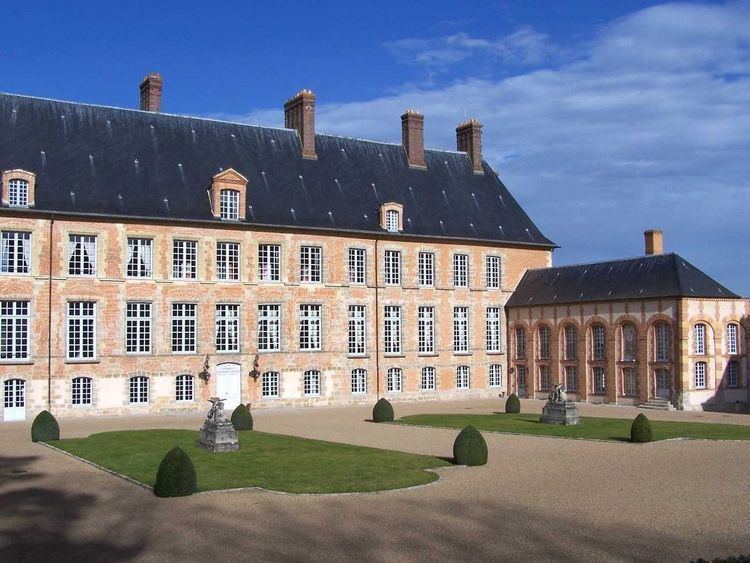
Interesting Sights
References
Les Mesnuls Wikipedia(Text) CC BY-SA