
Time zone CET (UTC+1) Area 15.22 km² Local time Wednesday 10:36 PM | Region Occitanie Canton Capdenac-Gare INSEE/Postal code 12003 /12220 Population 330 (1999) | |
 | ||
Weather 8°C, Wind E at 6 km/h, 72% Humidity | ||
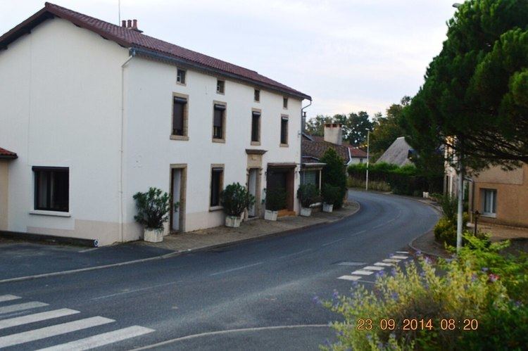
Les Albres is a French commune in the Aveyron department in the Occitanie region of southern France.
Contents
- Map of 12220 Les Albres France
- Geography
- Administration
- Demography
- Notable people linked to the commune
- References
Map of 12220 Les Albres, France
The inhabitants of the commune are known as Albrégeois or Albrégeoises
Geography
Les Albres is located some 15 km south-east of Figeac and 5 km west of Decazeville. It can be accessed on the D994 road from Asprières in the west, passing through the village and continuing south-east to Montbazens. There is also the D144 small and winding road from Bouillac in the north and the D22 road branching from the D5 in the east and coming to the village via a tortuous route. The commune is mostly farmland with about 30% of the area forested. There are several hamlets other than the village. These are:
Numerous streams rise in the commune and mostly flow south-east. The Ruisseau de l'Estang forms the western border of the commune but most of the other streams are unnamed. There are a number of small lakes and ponds scattered through the commune
Administration
List of Successive Mayors
(Not all data is known)
Demography
The commune existed in 1793 but in 1834 joined the commune of Asprières together with Vernet-le-Haut. In 1877 however it was separated again. In 1974 it joined the commune of Viviez but again in 1978 it separated.
In 2009, the commune had 342 inhabitants. The evolution of the number of inhabitants is known through the population censuses conducted in the commune since 1793. From the 21st century, a census of communes with fewer than 10,000 inhabitants is held every five years, unlike larger towns that have a sample survey every year.
Sources : Ldh/EHESS/Cassini until 1962, INSEE database from 1968 (population without double counting and municipal population from 2006)