
Length 298 km Mouth elevation 0 | ||
 | ||
Leon river farm temple tx
The Leon River is a river in the U.S. state of Texas. It has three primary forks; the North, Middle, and South Leon rivers which meet near Eastland and then run for around 185 miles until it meets up with the Lampasas River and the Salado Creek to form the Little River near Belton.
Contents
- Leon river farm temple tx
- Map of Leon River Texas USA
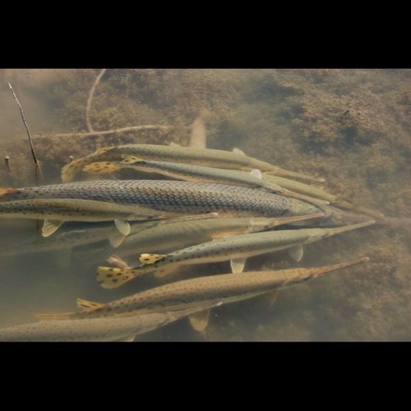
- Fishing at the leon river temple tx
- Reservoirs
- Parks and Nature Centers
- References
Map of Leon River, Texas, USA
Fishing at the leon river temple tx
Reservoirs
Construction of Belton Dam on the Leon River began in 1947 and was completed in 1954. Belton Lake took less than two years to fill up and nearly overflowed in 1957. In October 1993 the Miller Springs Nature Center was constructed along the Leon River just downstream of Belton Dam.
Parks and Nature Centers
References
Leon River Wikipedia(Text) CC BY-SA