
Population 830 (2011) Unitary authority Local time Wednesday 6:23 AM | OS grid reference SO404741 Sovereign state United Kingdom Dialling code 01547 Post town Craven Arms | |
 | ||
Weather 4°C, Wind W at 5 km/h, 97% Humidity | ||
Leintwardine ( /ˈlɛntwərdaɪn/ LENT-wər-dine) is a large village and civil parish in north Herefordshire, England, close to the border with Shropshire.
Contents
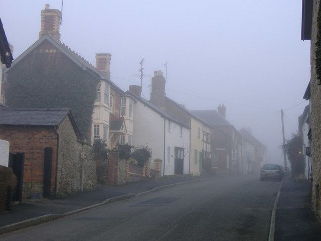
Map of Leintwardine, Craven Arms, UK
Roman
The construction of a rampart in around 170 AD (ranging up to two metres tall), and still visible in places around Leintwardine, is thought by local historians to be the result of one of two events. The argument currently in retreat is that following a local uprising the Romans evicted all locals and constructed a rampart and palisade. The preferred line is that the ramparts were built following widespread local unrest to protect the mansio and the baths, which serviced Roman cavalry forts to the north, south and north-west. There exists a Roman praetorium/principia one mile southwest of Leintwardine atop Brandon Hill, believed to have contained a storage depot, regimental HQ, latrines and cookhouse. Aerial photographs as early at the middle 1950s showed circular crop marks within the confines of the hill fort. Much of the site's earthworks still exist and Brandon Hill remains an impressive sight.
Roman forts also existed nearby to Leintwardine at Jay Lane and Buckton.
Geography
The parish is the most northerly in Herefordshire. Neighbouring civil parishes are Adforton, Bedstone (Shropshire), Bromfield (Shropshire), Buckton and Coxall, Burrington, Clungunford (Shropshire), Downton, Hopton Castle (Shropshire), Onibury (Shropshire), and Walford, Letton and Newton.
To the northwest are the hamlets of Jay and Heath, which formed a township and whilst in the present day form part of the civil parish of Leintwardine, and thus a part of Herefordshire, were regarded as being part of Shropshire until the mid-19th century.
The River Clun flows into the River Teme to the southwest of the village.
The A4113 road passes through the village, on the alignment of the Roman road. The A4110 road forks off the A4113 just south of Leintwardine. The market town of Ludlow is 8 miles (13 km) away, in Shropshire.
The closest railway station is located on the Heart of Wales Line being Hopton Heath station with trains run by Arriva Trains Wales.
Community
Leintwardine is home to the Conservative MP Philip Dunne, who represents the Ludlow constituency and Leintwardine itself is represented by Bill Wiggin, MP for North Herefordshire.
Amenities in the village include a fire station (Hereford and Worcester Fire and Rescue Service), a primary school and a library. There are two churches: one (the historic parish church of St Mary Magdalene) is Church of England/Anglican, the other a Methodist hall. There is also a village hall and neighbouring community centre (combined with the library).
Local businesses include the Sun Inn, one of the country's last remaining parlour inns and one of CAMRA's listed heritage pubs.