
District Sarah Baartman Postal code (street) 5820 | Municipality Blue Crane Route PO box 5820 | |
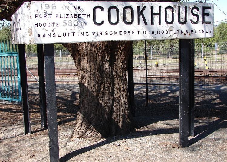 | ||
Cookhouse (Afrikaans: Kookhuis) is a small village located in Eastern Cape province, South Africa, some 170 kilometres (110 mi) north of Port Elizabeth and 24 kilometres (15 mi) east of Somerset East, on the west bank of the Great Fish River, which formed the eastern boundary of the Cape Colony until 1819.
It is said to take its name from a small stone house used for shelter and cooking by troops camping on the bank of this river. Another explanation links the name to the hot climate as experienced by the troops stationed there.
In the 1870s, the government of Prime Minister John Molteno oversaw a massive expansion of the Cape Colony's railway system, and a route northwards to De Aar from Port Elizabeth and Port Alfred was chosen by the Cape Government Railways to pass through what is now Cookhouse. A station was built here the town formed around this connection. Cookhouse was an important railway junction.