 | ||
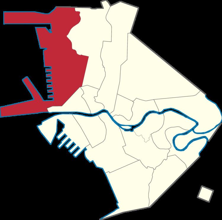
The Legislative Districts of Manila are the representations of the city of Manila in the various national legislatures of the Philippines. The city is currently represented in the lower house of the Congress of the Philippines through its first, second, third, fourth, fifth, and sixth districts.
Contents
History
Manila was originally divided into two representative districts from 1907 to 1949. When seats for the upper house of the Philippine Legislature were elected from territory-based districts between 1916 and 1935, the city formed part of the fourth senatorial district which elected two out of the 24-member senate.
In the disruption caused by the Second World War, Manila was incorporated into the City of Greater Manila on January 1, 1942 through Manuel Quezon's Executive Order No. 400 as a wartime emergency measure. Greater Manila was represented by two delegates in the National Assembly of the Japanese-sponsored Second Philippine Republic: one was the city mayor (an ex officio member), while the other was elected through a city-wide assembly of KALIBAPI members during the Japanese occupation of the Philippines.
Upon the restoration of the Philippine Commonwealth in 1945, Manila's pre-war two-district representation was retained; this remained so until 1949. By virtue of the Revised Charter of the City of Manila, enacted on June 18, 1949, the city was divided into four congressional districts. The city elected four representatives from the 2nd Congress up to the 7th Congress.
The city was represented in the Interim Batasang Pambansa as part of Region IV from 1978 to 1984, and elected six representatives, at large, to the Regular Batasang Pambansa in 1984.
Manila was reapportioned into six congressional districts under the new Constitution which was proclaimed on February 11, 1987. It elected members to the restored House of Representatives starting that same year.
