
Country United States Time zone CST (UTC-6) Area 47.79 km² Population 364 (2010) | Established November 6, 1849 Elevation 136 m Local time Tuesday 5:09 PM | |
 | ||
ZIP codes 61315, 61322, 61356, 61368 Weather -3°C, Wind N at 23 km/h, 49% Humidity | ||
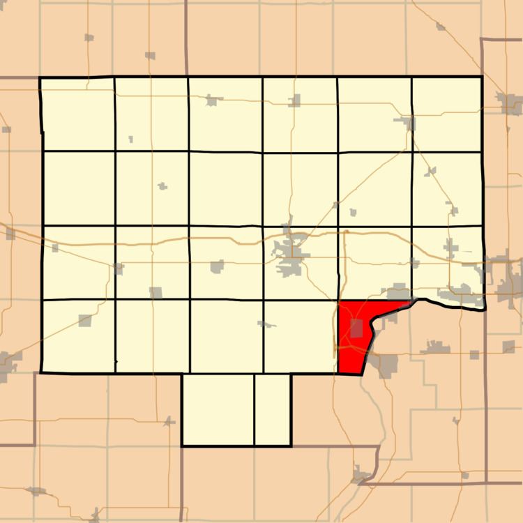
Leepertown Township is one of twenty-five townships in Bureau County, Illinois, USA. As of the 2010 census, its population was 364 and it contained 187 housing units. Leepertown Township changed its name from Leipertown Township on an unknown date.
Contents
- Map of Leepertown Township IL USA
- Geography
- Cities
- Cemeteries
- Major highways
- Rivers
- Lakes
- School districts
- Political districts
- References
Map of Leepertown Township, IL, USA
Geography
According to the 2010 census, the township has a total area of 18.45 square miles (47.8 km2), of which 15.63 square miles (40.5 km2) (or 84.72%) is land and 2.82 square miles (7.3 km2) (or 15.28%) is water.
Cities
Cemeteries
The township contains Greenwood Cemetery.
Major highways
Rivers
Lakes
School districts
Political districts
References
Leepertown Township, Bureau County, Illinois Wikipedia(Text) CC BY-SA