
Existed: 1967 – present Constructed 1967 | History: Completed in 1969 Length 21.23 km | |
 | ||
South end: IL 26 / IL 71 in Hennepin | ||
Interstate 180 (abbreviated I-180) is a north–south spur highway that runs from Princeton, Illinois to the small town of Hennepin, Illinois on its southern terminus. It is 13.19 miles (21.23 km) long.
Contents
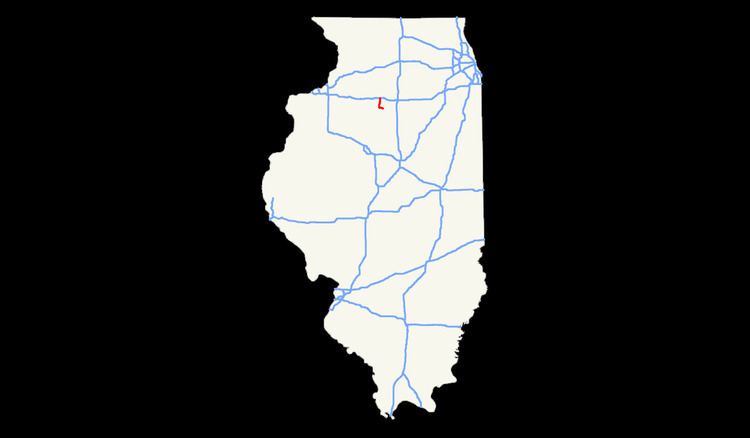
Map of I-180, Illinois, USA
Route description
Interstate 180 winds through a forested, hilly area in north-central Illinois. The local topography surrounding I-180 is heavily influenced by the Illinois River. It has four lanes for its entire length.
History
Construction of I-180 was completed in 1969. The freeway was built primarily to connect Interstate 80 to a new Jones & Laughlin steel plant built in 1965 at Hennepin, IL. However, the steel plant closed soon after I-180 was built, and did not re-open until August 2002. I-180 is one of the least traveled interstates in the nation, serving 1,950–3,600 vehicles per day as of 2013.
Exit list
The Illinois Department of Transportation does not provide exit numbers for any exits on I-180.