
 | ||
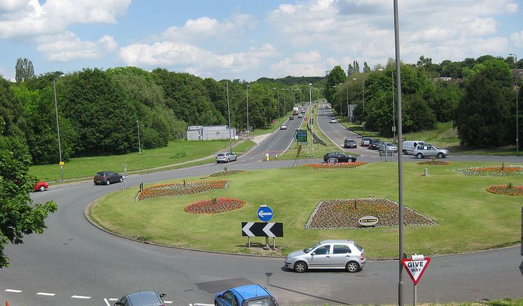
The Leeds Outer Ring Road is a main road that runs around most of the perimeter of the city of Leeds, West Yorkshire, England. The ring road is approximately 25 miles (40 km) long and consists of single and dual carriageways. Hence the road is not a loop and so is not a true ring road, although it is designated as such.
Contents
Map of Ring Rd, United Kingdom
The road begins in Belle Isle and ends in Colton at junction 46 of the M1 motorway. It begins in Belle Isle as an un-numbered road and goes through to Beeston. It is then designated the A6110 between Beeston and Bramley a dual carriageway, before running concurrently with the Stanningley By-Pass A647 also a dual carriageway but with grade separated junctions.
For the rest of the way between Farsley and Colton the road is the A6120 and it is a mixture of single and dual carriageway as far as Austhorpe. The ring road becomes the A63 road following a short concurrency and ends in Colton.
There are future proposals for the complete dualling of the congested Outer Ring Road but they are not priority in the Leeds Transport Plan.
Ring Road names
The road name of the ring road reflects the district it passes through. The table below states the name of the ring road and the number of carriageways in each district.
As A6110
As A6120