
Country United States Elevation 297 m Local time Tuesday 12:31 PM | GNIS feature ID 0478815 Area 92.01 km² Population 1,761 (2000) | |
 | ||
Weather -2°C, Wind N at 11 km/h, 80% Humidity | ||
Lecompton Township is a township in Douglas County, Kansas, USA. As of the 2000 census, its population was 1,761.
Contents
- Map of Lecompton KS USA
- Geography
- Adjacent townships
- Towns and settlements
- Major highways
- Points of interest
- References
Map of Lecompton, KS, USA
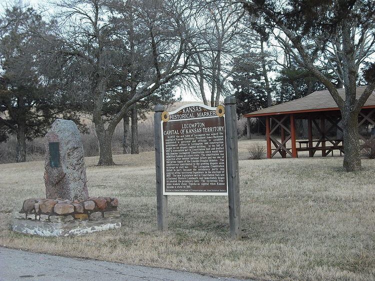
Lecompton Township was formed in about 1858. It was named for the town of Lecompton which was the territorial capital of Kansas.
Geography
Lecompton Township covers an area of 35.53 square miles (92.0 km2) and contains one incorporated settlement, Lecompton. According to the USGS, it contains two cemeteries: Big Springs and Lecompton.
The streams of Coon Creek, Oakley Creek and Spring Creek run through this township.
Adjacent townships
Towns and settlements
Although these towns may not be incorporated or populated, they are still placed on maps produced by the county.
Major highways
Points of interest
References
Lecompton Township, Douglas County, Kansas Wikipedia(Text) CC BY-SA