
RCM None Constituted August 6, 1965 Area 42.6 km² Province Québec | Settled 1965 Elevation 304.50 m (999.02 ft) Population 2,159 (2011) Local time Tuesday 11:06 AM | |
 | ||
Weather -17°C, Wind N at 11 km/h, 63% Humidity | ||
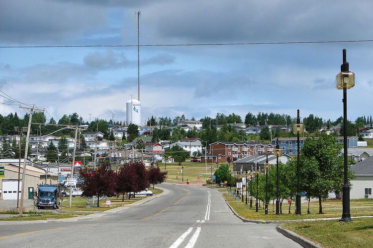
Lebel-sur-Quévillon is a city in the Canadian province of Quebec, located on Route 113 in the Jamésie region. It is located approximately 88 kilometres north of Senneterre and approximately 200 kilometres southwest of Chibougamau. It is surrounded by, but not a part of, the municipality of Baie-James.
Contents
Map of Lebel-sur-Qu%C3%A9villon, QC, Canada
The town had a population of 2,159 as of the Canada 2011 Census, and is served by the Lebel-sur-Quévillon Airport. The hamlet of Rapide-des-Cèdres is also within its municipal boundary.
Demographics
Population trend:
Private dwellings occupied by usual residents: 917 (total dwellings: 1111)
Mother tongue:
References
Lebel-sur-Quévillon Wikipedia(Text) CC BY-SA