
Governing body U.S. Forest Service | Area 68.14 km² Established 1984 | |
 | ||
Management United States Forest Service | ||
Where trails won t take you backpacking leatherwood wilderness
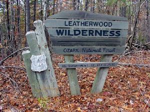
The Leatherwood wilderness is a 16,838 acres (68.14 km2) wilderness area located within the Ozark-St. Francis National Forest in Arkansas. It is the largest wilderness area in Arkansas. It was created by the US congress in 1984 and is managed by the US Forest Service.
Contents
- Where trails won t take you backpacking leatherwood wilderness
- 216 leatherwood wilderness area leatherwood creek
- TerrainEdit
- WildlifeEdit
- References
The Leatherwood wilderness area takes its name from Leatherwood creek, the largest waterway that runs through the wilderness area, and from the Dirca plant, locally known as the leatherwood plant, which is common in the region.
216 leatherwood wilderness area leatherwood creek
TerrainEdit
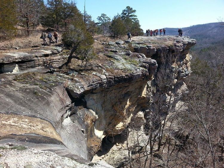
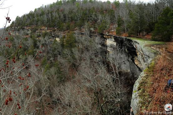
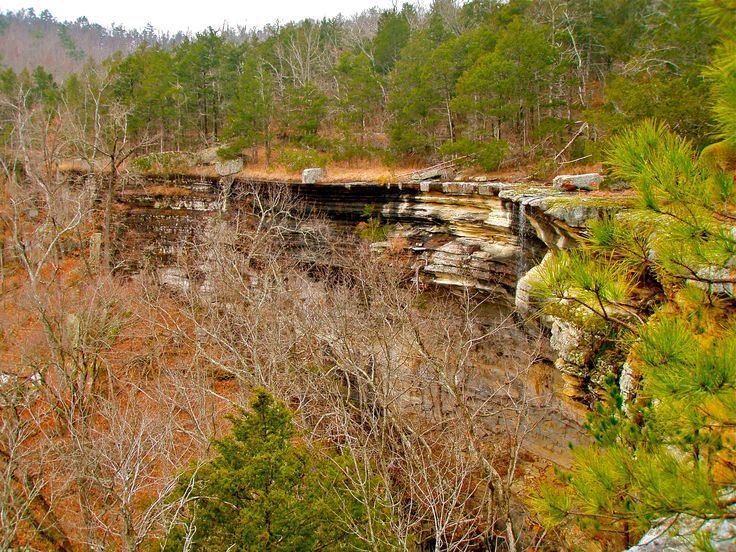
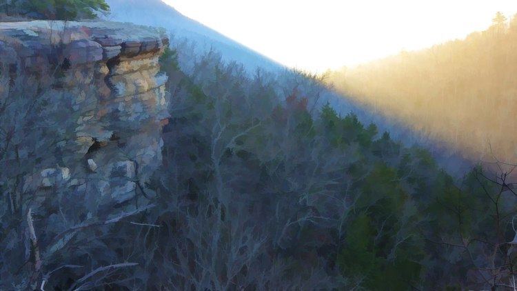
The Leatherwood Wilderness area contains some of the most broken terrain within the Ozarks. In several locations sheer cliffs of 1,200 feet (370 m) rise about creek drainage areas. Backpacking and camping are allowed in the entire park area, but no pre-made trails exist and, because of the brokenness of the terrain, caution is advised.
Hikers will occasionally run onto old roads, farms, and cabins from before the area was designated as a wilderness area that are returning to nature.

Many caves exist within the wilderness area, but all except Blanchard Springs Caverns are closed to human entrance to prevent the spread of white nose syndrome among bat populations.
WildlifeEdit
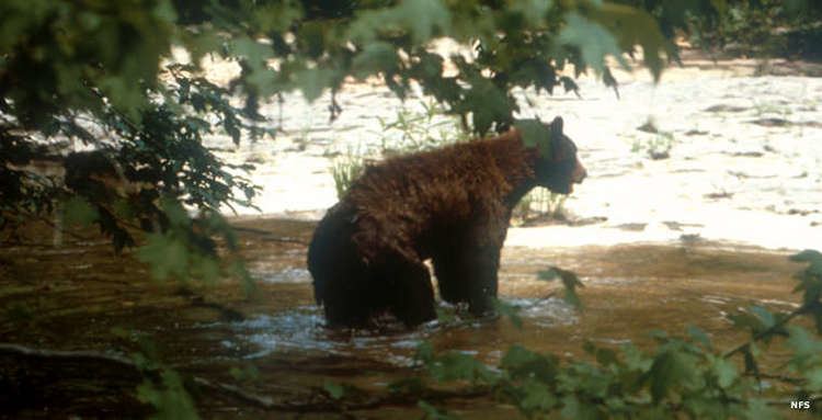
The Leatherwood Wilderness is home to white-tailed deer, wild turkeys, black bears, as well as various bat species.
Besides dirca, the Leatherwood wilderness is home to a wide variety of trees, including oak, hickory, and gum trees. The wilderness also has several cedar glades and pine stands. Other common plants include spicebush.