
Type Army Airfield Year built 1942 | In use 1943-1944 | |
 | ||
Controlled by | ||
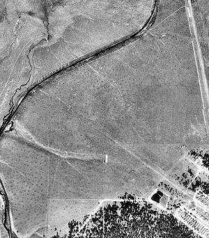
Leadville Municipal Airport (Leadville Army Airfield c. Aug 1943-5) was a Colorado World War II Army Airfield "adjacent to Highway No. 24" and named for Leadville, Colorado, 2 mi (3.2 km) southeast.
Contents
Leadville Flight Strip
On September 10, 1943, the existing Leadville Flight Strip of ~49 acres (20 ha) included a 300 ft × 1,450 ft (91 m × 442 m) landing strip, and the "buildings area" was ~8 acres (3.2 ha).
Leadville Army Airfield
The Leadville landing field became* a United States Army Air Forces Third Air Force auxiliary field of Colorado Springs' Peterson Field which was a photo reconnaissance training facility and base of the 35th Altitude Training Unit.
Municipal airport
After being used as a post-war municipal airport, the Leadville facility closed and was dismantled by 1949.
References
Leadville Municipal Airport Wikipedia(Text) CC BY-SA