
Top elevation 1,268 m (4,160 ft) Runs 12 | Base elevation 1,020 m (3,346 ft) | |
 | ||
Website | ||
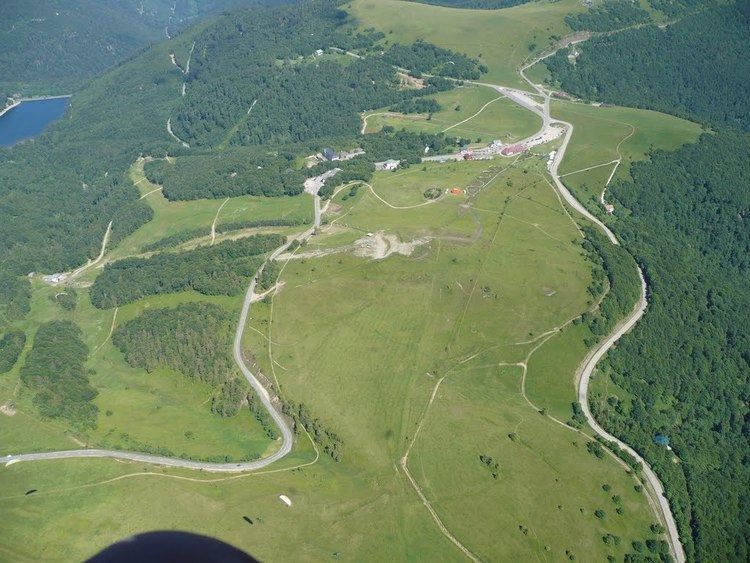
Le Markstein is a winter sports station in the Vosges mountains in France situated at an altitude of between 1,020 m (3,346 ft) and 1,268 m (4,160 ft) which is located on the Route des Crêtes. It forms a set of cross-country skiing with the Breitfirst ski-station and the Grand Ballon. The highest point is the summit of the Jungfraukopf. The station staged World Cup skiing in 1983 and 1987 and World Cup Paragliding in 1999. The roads through the station are also used from time to time by the Tour de France cycle race, including twice in 2014.
Contents
- Map of Le Markstein 68830 Oderen France
- Skiing
- Tracks
- Cycle racing
- Details of the climbs
- 2014 Tour de France
- References
Map of Le Markstein, 68830 Oderen, France
Skiing
The Markstein ski station has eight ski lifts.
Tracks
The station has 12 tracks in all including:
Cycle racing
Prior to 2014, the Tour de France cycle race passed through Le Markstein seven times either during the passage over the Col du Grand Ballon or in the descent from the Col du Platzerwasel, although it was not categorized for the Mountains classification. The first passage was in 1969 and the most recent in 2009.
Details of the climbs
Starting from Guebwiller, to the east, the climb is 23.5 km (14.6 mi) long. Over this distance, the climb is 895 m (2,936 ft) at an average gradient of 3.8%, with the steepest sections being at 8.1%. The 2014 Tour de France route joins this climb at Lautenbach, from where there is an 10.8 km (6.7 mi) long climb at an average gradient of 5.4%.
Starting from Oderen, to the west, the climb is 20.5 km (12.7 mi) long. Over this distance, the climb is 722 m (2,369 ft) at an average gradient of 3.5%, with the steepest sections being at 8.6%.
2014 Tour de France
In 2014, the Tour de France passed through Le Markstein twice. On Stage 9, on 13 July, the race climbed to Le Markstein from the sprint at Linthal, to the east, and the climb to the summit, with an altitude of 1,183 m (3,881 ft), ranked as First Category. The race then travelled via the Route des Crêtes (D431) before crossing the Col du Grand Ballon and descending to the finish at Mulhouse. The leader over the summit was the German rider Tony Martin.
The following day, the tour again passed through the station, as it descended from the Col du Platzerwasel towards Oderen.