
Length 20.2 mi (32.5 km) Season Year round | Trail difficulty Easy | |
 | ||
Trailheads Loop Trail with multiple access points Surface Asphalt, Crushed Stone, Grass, Dirt, Concrete | ||
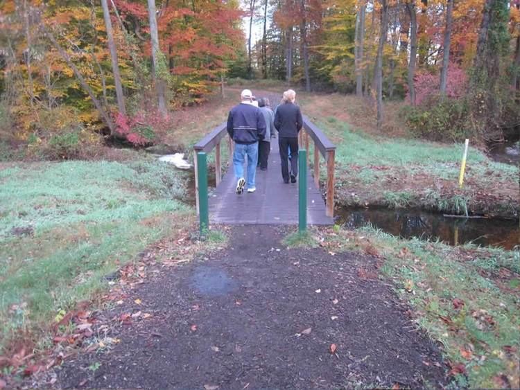
The Lawrence Hopewell Trail is a multi-use trail founded in 2002. The trail runs through Lawrence and Hopewell Townships in Mercer County, New Jersey. The current developed length of the trail is 11.8 miles (19.0 km) with a planned final length of 20.2 miles (32.5 km) The anticipated completion date for the trail is in 2012. The Lawrence Hopewell Trail is not a rail-trail but is classified as a greenway by the Rails-to-Trails Conservancy and as such it does not reuse any existing railroad right-of-way. Much of the trail traverses public properties such as parks, sidewalks and roadway as well as private properties via agreement, including the Bristol-Myers Squibb Hopewell & Lawrenceville campuses, the Educational Testing Service corporation property, and The Lawrenceville School campus.
Contents
Map of Lawrence Hopewell Trail, Pennington, NJ 08534, USA
Trail heads
The Lawrence Hopewell Trail forms a loop so there are no terminating trail heads, rather there are multiple access points along its path. The trail's web site lists 24 individual trail sections with their access, surface, status and location. The following sections list nearby parking for trail access: