Supriya Ghosh (Editor)

Lavanttal Alps

Updated on
Edit
Like
Comment
Share on FacebookTweet on TwitterShare on LinkedInShare on Reddit
Elevation
  
2,396 m (7,861 ft)

States
  
Styria and Carinthia

Countries
  
Austria and Slovenia

Peak
  
Zirbitzkogel

Lavanttal Alps wwwsummitpostorgimagesmedium353835jpg

Parent ranges
  
Central Eastern Alps, Carinthian-Styrian Alps (Noric Alps)

Similar
  
Koralpe, Gurktal Alps, Saualpe, Ennstal Alps, Saint Paul's Abbey - L

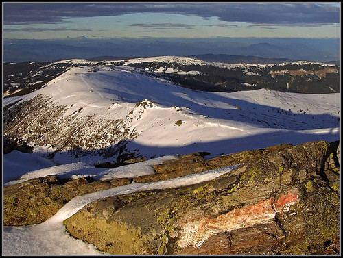
The Lavanttal Alps (German: Lavanttaler Alpen, Slovene: Labotniške Alpe) are part of the Central Eastern Alps in Austria and Slovenia, between the river Mur in the north and the Drava in the south.

The mountains are named after the central valley of Lavanttal and the Lavant River which runs in their midst. Historically they were also viewed, along with the neighbouring Gurktal Alps range, as part of the larger "Noric Alps", but that grouping had no geological basis.

SubdivisionEdit

The main ranges of the Lavanttal Alps are:

  • Seetal Alps, stretching along the Mur River from Scheifling to Zeltweg in Styria, including the highest peak, Mt. Zirbitzkogel, 2,396 m (7,861 ft)
  • Saualpe, the lower westernmost range in Carinthia, between Klippitztörl Pass in the north and the Drava in the south
  • Packalpe and Stubalpe, stretching from Obdach Saddle in the west and Gaberl Pass in the north to the Packsattel in the south, including Mt. Ameringkogel, 2,187 m (7,175 ft)
  • Koralpe, the southern continuation along the Styrian-Carinthian border
  • The Kozjak Mountains (also Possruck Mountains), along the border of Austria with Slovenia, from Radl Pass in the west down to the Slovene Hills and the Drava River.
  • Gleinalpe, stretching from the Mur near Zeltweg in the northeast and Gaberl Pass in the southwest down to the Graz Basin, crossed by the Gleinalm Tunnel.
  • References

    Lavanttal Alps Wikipedia