
Management Staatsbosbeheer | Area 60 km² Established 2003 | |
 | ||
Location | ||
Starling murmuration over lauwersmeer national park
Lauwersmeer National Park (Dutch: Nationaal Park Lauwersmeer) is a national park in the provinces of Friesland and Groningen in the Netherlands. It consists of the southern and eastern parts of the Lauwersmeer (previously Lauwerszee).
Contents
- Starling murmuration over lauwersmeer national park
- Lauwersmeer national park
- GeographyEdit
- HistoryEdit
- Fauna and floraEdit
- References
Lauwersmeer national park
GeographyEdit
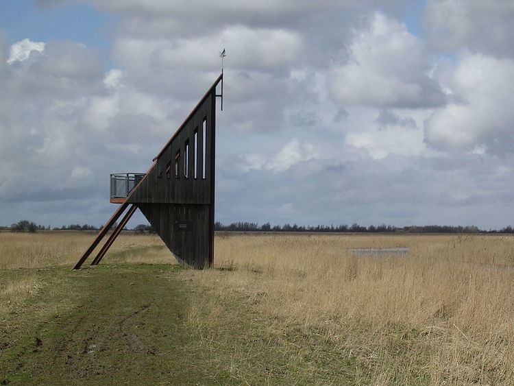
In the north of the Netherlands, the Lauwers river forms part of the east-west border between the provinces of Friesland and Groningen. The Lauwers flows from south to north into the Wadden Sea. The Lauwersmeer is its estuary, which is connected to the sea via a sluice at Lauwersoog. The national park consists of most of the Lauwersmeer and is situated in the Frisian municipalities of Dongeradeel and Kollumerland c.a. in Friesland and the Groningen municipality of De Marne.
HistoryEdit
On 25 May 1969, the Lauwers Sea was enclosed and separated from the Wadden Sea, since then it has been called Lauwersmeer.
The Lauwersmeer gradually became a freshwater lake and new flora and fauna appeared. To protect this new and young nature area, the Lauwersmeer became a national park on 12 November 2003.
Fauna and floraEdit
Among the flora are the purple Dactylorhiza maculata and the witte Parnassia.
Among the birds living in the area are the Eurasian Spoonbill, the Montagu's Harrier, the Bearded Reedling, and the Bluethroat. For the winter, hundred thousands of birds migrate to the area, like the Eurasian Wigeon, the Tundra Swan, and the Barnacle Goose.
To keep the landscape open, big grazers are used like the Konik horses and Highland cattle, besides normal horses and cows.