
Country Canada Established January 1, 2000 Area code(s) 613, 343 Local time Monday 12:31 PM | Time zone EST (UTC-5) Population 9,657 (2011) | |
 | ||
Website laurentianvalleytwsp.on.ca Weather -11°C, Wind N at 5 km/h, 35% Humidity | ||
House fire in laurentian valley township
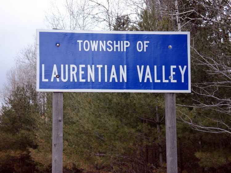
Laurentian Valley is an incorporated township in Renfrew County in eastern Ontario, Canada. It borders on the Ottawa River, the city of Pembroke and the town of Petawawa.
Contents
- House fire in laurentian valley township
- Map of Laurentian Valley ON Canada
- Communities
- Demographics
- Budget
- References
Map of Laurentian Valley, ON, Canada
This township was created on January 1, 2000 from the former townships of Stafford-Pembroke and Alice and Fraser.
Communities
The township comprises the communities of Alice, Cotnam Island, Davis Mills, Fairview, Forest Lea, French Settlement, Gorr Subdivision, Government Road, Greenwood, Hiam, Huckabones Corners, Indian, Kathmae Siding, Locksley, Lower Stafford, Micksburg, Pleasant View, Shady Nook, Stonebrook and Trautrim Subdivision.
Demographics
According to the Canada 2011 Census:
Population trend:
Budget
For the 2010–2011 fiscal year, the township will spend .
References
Laurentian Valley Wikipedia(Text) CC BY-SA