
Established January 1, 2000 Postal Code K0J 1J0 Population 2,811 (2011) | Time zone EST (UTC-5) Website www.laurentianhills.ca Local time Monday 12:30 PM Area code 613 | |
 | ||
Weather -12°C, Wind N at 3 km/h, 31% Humidity | ||
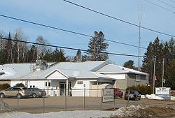
Laurentian Hills is a municipality in Eastern Ontario, Canada, on the Ottawa River in Renfrew County. It surrounds (by land) Deep River on the Ontario side of the river. The town is home to the Nuclear Power Demonstration. The municipality was formed on January 1, 2000, when the United Townships of Rolph, Buchanan, Wylie and McKay and the Village of Chalk River were merged.
Contents
Map of Laurentian Hills, ON, Canada
Communities
The town comprises the communities of Chalk River, Meilleurs Bay, Moor Lake, Point Alexander, Rolphton, and Wylie.
Demographics
According to the Canada 2011 Census:
Population trend:
Trivia
An Ontario Historical Plaque in front of the School House Museum was erected by the province to commemorate the role of Steamboating on the Upper Ottawa in Ontario's heritage.
References
Laurentian Hills Wikipedia(Text) CC BY-SA