
Municipalities 18 Capital Laufenburg | Time zone CET (UTC+1) Area 125.6 km² | |
 | ||
Points of interest Rhine, Sauriermuseum Frick, Museum Erwin Rehmann, Museum zum Schiff, Vogelpark Ambigua | ||
Laufenburg District is a district of the canton of Aargau, Switzerland, essentially consisting of the upper Fricktal valley in the Aargau Jura south of the Rhine. Its capital is the town of Laufenburg. It has a population of 31,272 (as of 31 December 2015).
Contents
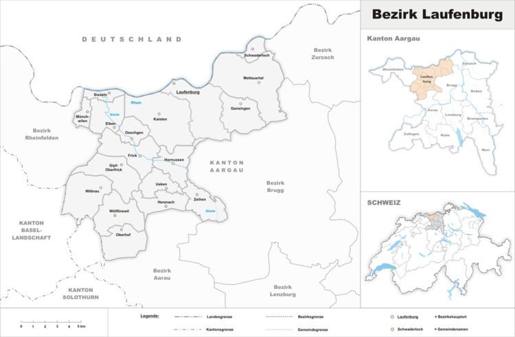
- Map of Laufenburg District Switzerland
- Geography
- Demographics
- Economy
- Religion
- Education
- Municipalities
- Mergers
- References
Map of Laufenburg District, Switzerland
Geography
The Laufenburg district has an area, as of 2009, of 152.56 square kilometers (58.90 sq mi). Of this area, 75.05 km2 (28.98 sq mi) or 49.2% is used for agricultural purposes, while 59.85 km2 (23.11 sq mi) or 39.2% is forested. Of the rest of the land, 15.9 km2 (6.1 sq mi) or 10.4% is settled (buildings or roads).
Demographics
The Laufenburg district has a population (as of December 2015) of 31,272. As of June 2009, 15.6% of the population are foreign nationals.
Economy
In 2000 there were 13,183 workers who lived in the district. Of these, 9,714 or about 73.7% of the residents worked outside the district while 5,635 people commuted into the district for work. There were a total of 9,104 jobs (of at least 6 hours per week) in the district.
Religion
From the 2000 census, 15,302 or 59.4% were Roman Catholic, while 5,752 or 22.3% belonged to the Swiss Reformed Church. Of the rest of the population, there were 128 individuals (or about 0.50% of the population) who belonged to the Christian Catholic faith.
Education
Of the school age population (in the 2008/2009 school year), there are 2,224 students attending primary school, there are 821 students attending secondary school, there are 555 students attending tertiary or university level schooling in the municipality.
Municipalities
^a Includes area of Hottwil, Etzgen, Mettau, Oberhofen and Wil which merged into Mettauertal on 1 January 2010.^b Includes area of Ittenthal which merged into Kaisten on 1 January 2010.^c Includes area of Sulz which merged into Laufenburg on 1 January 2010.Mergers
The following changes to the district's municipalities have occurred since 2000: