
Elevation 404 m Local time Friday 3:22 AM District Laufenburg District | Area 3.89 km² Postal code 5083 Sfos number 4168 | |
 | ||
Website www.ittenthal.ch SFSO statistics Weather 6°C, Wind E at 2 km/h, 76% Humidity | ||
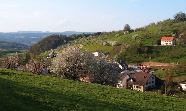
Ittenthal was a municipality in the district of Laufenburg in the canton of Aargau in Switzerland. On 1 January 2010, Ittenthal merged into the municipality of Kaisten.
Map of Ittenthal, Switzerland
The historical population is given in the following table:
References
Ittenthal Wikipedia(Text) CC BY-SA