Trisha Shetty (Editor)

Latakia District

Updated on
Edit
Like
Comment
Share on FacebookTweet on TwitterShare on LinkedInShare on Reddit
Country
  
Syria

Seat
  
Latakia

Geocode
  
SY0600

Governorate
  
Latakia

Subdistricts
  
7 nawāḥī

Area
  
971.6 km²

Latakia District

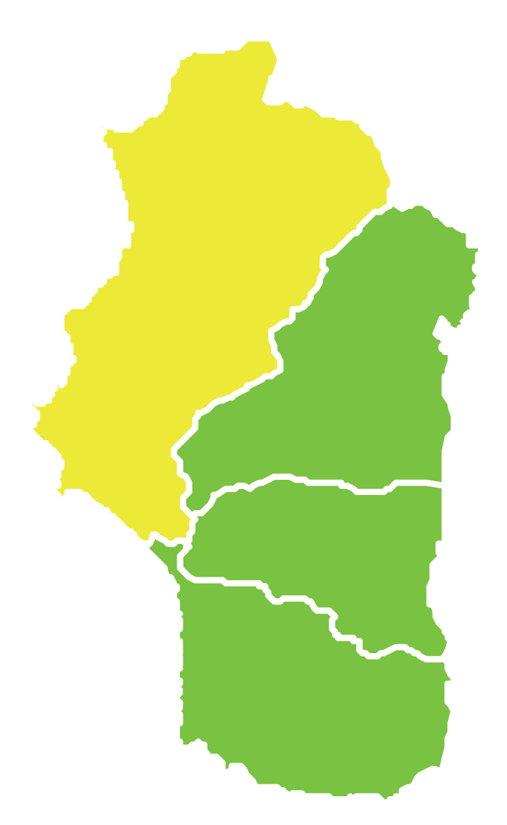
Latakia District (Arabic: منطقة اللاذقية‎, manṭiqat al-Lādhiqīyah‎) is a district of the Latakia Governorate in northwestern Syria. Administrative centre is the city of Latakia. At the 2004 census, the district had a population of 526,888.

Contents

Map of %D9%85%D9%86%D8%B7%D9%82%D8%A9 %D8%A7%D9%84%D9%84%D8%A7%D8%B0%D9%82%D9%8A%D8%A9%D8%8C Syria%E2%80%AD

Agriculture has remained the most important economic sector in the province, with citrus fruits, apples, and olives being the main cash crops. Tourism mostly from the Persian Gulf States is also a major source of income for the inhabitants during the summer season.

Sub-districts

The district of Latakia is divided into seven sub-districts or nawāḥī (population as of 2004):

  • Latakia Nahiyah (ناحية اللاذقية): population 424,392.
  • Main localities: Sqoubin, Burj al-Qasab, Baksa, Sitmarkho, Sinjwan, al-Shamiyah, Al-Qanjarah, Kirsana and Mushayrafet al-Samouk.
  • Al-Bahluliyah Nahiyah (ناحية البهلولية): population 17,532.
  • Main localities: Al-Jandiriyah.
  • Rabia Nahiyah (ناحية ربيعة): population 8,214.
  • Ayn al-Baydah Nahiyah (ناحية عين البيضة): population 30,959.
  • Main localities: Burj Islam, al-Shabatliyah, Salib al-Turkman, al-Safsaf and Mashqita.
  • Qastal Ma'af Nahiyah (ناحية قسطل معاف): population 16,784.
  • Main localities: Umm al-Tuyour, al-Badrusiyah, Balloran and Zighrin.
  • Kesab Nahiyah (ناحية كسب): population 1,927.
  • Hanadi Nahiyah (ناحية هنادي): population 27,080.
  • Main localities: Al-Bassah, al-Shir, al-Sanawbar and Fideo.
  • References

    Latakia District Wikipedia