
Country Cuba Area code(s) +53-31 Population 536,027 (31 Dec 2010) | Time zone EST (UTC-5) Area 6,595 km² | |
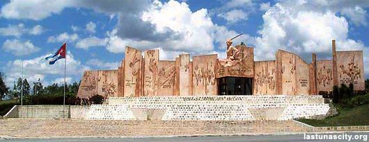 | ||
Points of interest Fuerte de la Loma, Museo Provincial "Vicente, Museo Fernando Garcia Gr | ||
Las Tunas is one of the provinces of Cuba. Major towns include Puerto Padre, Amancio, and the capital city, Las Tunas (historically Victoria de Las Tunas).
Contents
Map of Las Tunas, Cuba
Climate and agriculture
The southern coast, which opens onto the Gulf of Guacanayabo, is marshy and characterised by mangroves. This wet area is used to grow sugarcane, as the wet climate is well suited for the crop.
Cattle are also grazed in the province.
History
Las Tunas was part of the Oriente province, until that province was divided into five smaller provinces in 1975.
In the same year, a large development program was started to modernize the town of Las Tunas and connect it by road to Havana.
Demographics
In 2004, the province of Las Tunas had a population of 529,850. With a total area of 6,587.75 km2 (2,543.54 sq mi), the province had a population density of 80.4/km2 (208/sq mi).