Suvarna Garge (Editor)

Las Palmas Glacier

Updated on
Edit
Like
Comment
Share on FacebookTweet on TwitterShare on LinkedInShare on Reddit
Las Palmas Glacier

Las Palmas Glacier (62°41′S 60°25′W) is a glacier flowing west-northwest from Hurd Dome and terminating at Las Palmas Cove, South Bay, Livingston Island, Antarctica. The name was given by the Spanish Antarctic Expedition, about 1991, after the ship Las Palmas of the Spanish Antarctic campaigns since 1988.

Contents

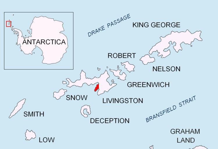
Map of Las Palmas Glacier, Antarctica

Maps

  • Isla Livingston: Península Hurd. Mapa topográfico de escala 1:25000. Madrid: Servicio Geográfico del Ejército, 1991.
  • L.L. Ivanov et al. Antarctica: Livingston Island and Greenwich Island, South Shetland Islands. Scale 1:100000 topographic map. Sofia: Antarctic Place-names Commission of Bulgaria, 2005.
  • L.L. Ivanov. Antarctica: Livingston Island and Greenwich, Robert, Snow and Smith Islands. Scale 1:120000 topographic map. Troyan: Manfred Wörner Foundation, 2009. ISBN 978-954-92032-6-4
  • References

    Las Palmas Glacier Wikipedia