
OS grid reference SJ238871 Post town WIRRAL Local time Sunday 11:51 PM Dialling code 0151 | Postcode district CH48 | |
 | ||
Weather 7°C, Wind W at 13 km/h, 89% Humidity ISO 3166 code | ||
Larton wirral
Larton is a hamlet, located next to Frankby and near to West Kirby, on the Wirral Peninsula, England. The name is of Viking origin, deriving from the Old Norse Leir-tun, meaning 'clay farmstead'. Larton was formerly part of Newton-cum-Larton, in the West Kirby parish of the Wirral Hundred. Its population was 49 in 1801 and 44 in 1851.
Contents
Today, Newton is again regarded as a separate entity from Larton and is a district of West Kirby. Larton is now part of the Frankby parish, containing the majority of the population of the former township. Larton's name remains in geographical use with the Larton Livery riding school, Larton Farm and a "state of the art" veterinary surgery.
Larton riding school myrtle
Geography
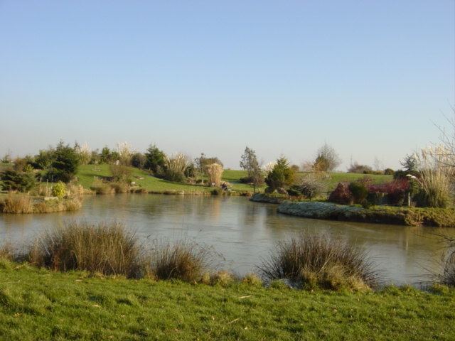
Larton lies on the western side of the Wirral Peninsula, approximately 3.5 km (2.2 mi) south-east of the Irish Sea at Hoylake, 2.5 km (1.6 mi) north-east of the Dee Estuary at West Kirby and about 9 km (5.6 mi) west-south-west of the River Mersey at Seacombe. The hamlet is situated at an elevation of about 20 m (66 ft) above sea level.
To the immediate north of Larton is the site of RAF West Kirby. Newton Brook joins with Greasby Brook to the north-east of the hamlet.