
Elevation 3,181 m (10,436 ft) | ||
 | ||
Similar Dolomites, Langkofel, Plattkofel, Sella group, Sella Pass | ||
Trail running in the langkofel group
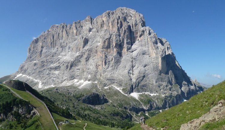
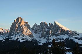
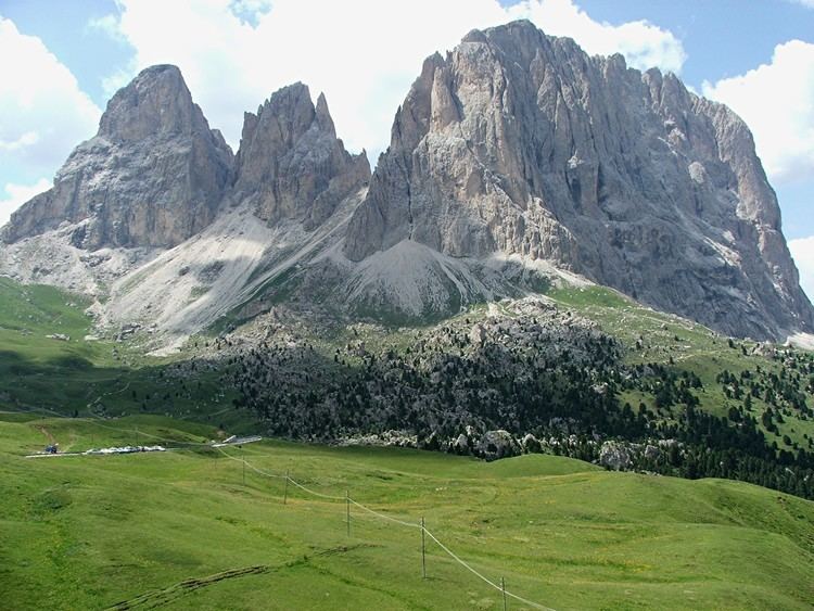
The Langkofel Group (Italian: Gruppo del Sassolungo) is a massif in the (western) Dolomites. It separates Gröden (to the north) and the Fassa valley (to the south), as well as the Sella massif (to the east) and the Rosengarten (to the west). Northwest of the Langkofel is the Seiser Alm. The highest point in the range is the eponymous Langkofel with a height of 3,181 metres. Taken together, the summits of the Langkofel form an arc which is only open towards the northwest. Within this arc there is only one small mountain, the Langkofelkarspitze, so that the group surrounds a kind of "inner courtyard".
Contents
GeologyEdit
The region was formed in the early Triassic period (about 230 million years ago) as a coral reef in a shallow tropical sea. Hard limestone was able to form on the outside of the reef, whilst the rock in the interior remained brittle and was quickly eroded away following the uplifting of the range. This left a garland of mountains which, in a clockwise direction, are the Langkofel, Langkofeleck, Fünffingerspitze, Grohmannspitze, Innerkoflerturm, Zahnkofel and Plattkofel.
SummitsEdit
Alpine hutsEdit
TourismEdit
In Summer a gondola lift runs from Sellajoch up to the col of Langkofelscharte and the Toni Demetz refuge hut. From there both the Langkofel (via the Langkofel Hut, Confinböden and the Emilio Comici Hut), as well as the Plattkofel (via the Langkofel Hut, Plattkofel Hut and Frederick Augustus Way) may be circled on hiking trails. The Plattkofel may be reached from the Langkofelkar on the klettersteig route known as the Oskar Schuster Steig and from the Plattkofel Hut over the steep western flank (here without climbing). Between the Langkofel and the Sellajoch is the area of rockslides known as the "Rocky Town" (Steinernen Stadt), notable especially for its rich flora.
In winter there are ski areas at the foot of the Langkofel Group: the Col Rodella (on the Sellajoch), Plan de Gralba, Ciampinoi (with its well-known Saslong world cup run) and Monte Pana/Mont de Sëura. The famous Sella Ronda, a circuit of the Sella Group on ski pistes both clockwise and anticlockwise, also runs over these pistes.