
Admin. region Oberbayern Elevation 429 m (1,407 ft) Area 26.89 km² Population 3,886 (31 Dec 2008) Dialling code 08761 | Time zone CET/CEST (UTC+1/+2) Local time Sunday 1:14 PM Postal code 85416 | |
 | ||
Weather 9°C, Wind E at 21 km/h, 48% Humidity | ||
Langenbach is a municipality in the district of Freising in Bavaria in Germany.
Contents
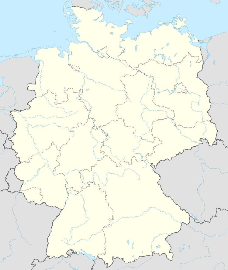
- Map of 85416 Langenbach Germany
- History
- Local attractions
- Transport
- Companies with offices in Langenbach
- Education
- References
Map of 85416 Langenbach, Germany
The town has its own railway station on the Munich-Regensburg line, and lies on Highway 11 between Freising and Moosburg. Its boroughs are Amperhof, Asenkofen, Großenviecht, Kleinviecht, Niederhummel, Oberbach, Oberhummel, Oftlfing, Rast, Schmidhausen und Windham.
History
Langenbach was first mentioned in 818. It belonged to the Landgericht (regional jurisdiction) of Kranzberg, in the Rentamt (financial administrative district) of Munich. Until its 1803 secularization, the bishopric of Freising was the Langenbach district's most important landowner. Langenbach became an independent municipality in the course of the 1818 Bavarian administrative reforms. The community of Oberhummel was incorporated into Langenbach in 1972.
Local attractions
Transport
Thanks to its location on the Munich–Regensburg line and on Highway 11, Langenbach has become a popular commuter suburb. In 2009 the Langenbach train station is due to receive new, elevated platforms and a pedestrian underpass. It will also be served from December 2009 onwards by a new hourly regional train running from Freising to Landshut.
Since 1973 Langenbach has been served by the Hallertauer Lokalbahn, which runs from Freising to Langenbach on the Landshut line before diverting in the direction of Hallertau.