
Country Bangladesh Area 388.5 km² | Time zone BST (UTC+6) | |
 | ||
Website Official Map of Langadu | ||
Langadu (Bengali: লংগদু) is an Upazila of Rangamati District in the Division of Chittagong, Bangladesh.
Contents
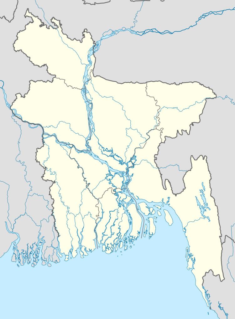
Map of Langadu Upazila, Bangladesh
Geography
Langadu is located at 22.9500°N 92.1500°E / 22.9500; 92.1500 . It has 10571 households and total area 388.5 km².
Demographics
As of the 1991 Bangladesh census, Langadu has a population of 54490. Males constitute 53.01% of the population, and females 46.99%. This Upazila's eighteen up population is 26617. Langadu has an average literacy rate of 27.5% (7+ years), and the national average of 32.4% literate.
Administration
Langadu has 7 Unions/Wards, 29 Mauzas/Mahallas, and 131 villages.
References
Langadu Upazila Wikipedia(Text) CC BY-SA