
Country Thailand Time zone ICT (UTC+7) Geocode 8604 Population 70,837 (2007) | Seat Khan Ngoen Postal code 86110 Area 935 km² Province Chumphon Province | |
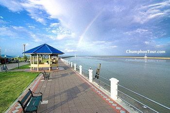 | ||
Lang Suan (Thai: หลังสวน, [lǎŋ sǔa̯n]) is a district (amphoe) of Chumphon Province, southern Thailand.
Contents
Map of Lang Suan District, Chumphon, Thailand
History
Lang Suan was originally a mueang reporting directly to Bangkok. During the thesaphiban reforms at the end of the 19th century it was put under monthon Chumphon. On 1 April 1932 the province was abolished and its districts were incorporated into Chumphon Province.
Geography
Neighboring districts are (from the south clockwise) Lamae and Phato of Chumphon Province, La-un of Ranong Province, and Sawi and Thung Tako of Chumphon again. To the east is the Gulf of Thailand.
The main river of the district is the Lang Suan.
Symbols
The slogan of the district is Lang Suan, city of fruits, paddle boat race, source of durian stir, royal garden.
Administration
The district is divided into 13 sub-districts (tambon), which are further subdivided into 147 villages (muban). The town (thesaban mueang) Lang Suan includes the tambon Lang Suan and parts of Khan Ngoen, Pho Daeng, Laem Sai, and Wang Tako. The sub-district municipality (thesaban tambon) Paknam Lang Suan includes tambon Pak Nam. There are a further 12 tambon administrative organizations (TAO).