Intercommunality Massif de Mouthoumet Area 8.75 km² Arrondissement Carcassonne | Region Occitanie Canton Mouthoumet Population (2008) 45 Local time Sunday 12:19 PM | |
 | ||
Weather 14°C, Wind NW at 31 km/h, 69% Humidity | ||
Lanet is a commune in the Aude department in south-western France.
Contents
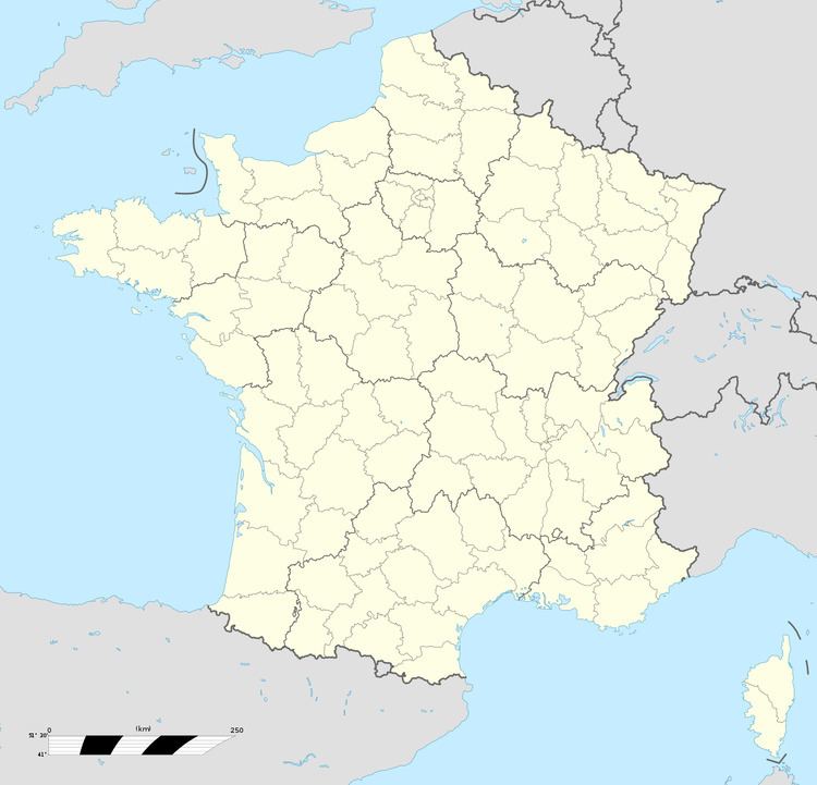
Map of 11330 Lanet, France
Geography
The commune is located in the Corbières mountains.
The village lies in the middle of the commune, on the right bank of the Orbieu, which flows northwest through the commune.
References
Lanet Wikipedia(Text) CC BY-SA
