
Airport type Public 8/26 3,148 | Owner City of Lanett Elevation AMSL 624 ft / 190 m 3,148 960 | |
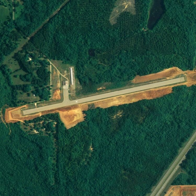 | ||
Lanett Municipal Airport (FAA LID: 7A3) is a city-owned public-use airport located three nautical miles (6 km) southwest of the central business district of Lanett, a city in Chambers County, Alabama, United States. According to the FAA's National Plan of Integrated Airport Systems for 2009–2013, it is categorized as a general aviation facility.
Facilities and aircraft
Lanett Municipal Airport covers an area of 150 acres (61 ha) at an elevation of 624 feet (190 m) above mean sea level. It has one runway designated 8/26 with an asphalt surface measuring 3,148 by 80 feet (960 x 24 m).
For the 12-month period ending February 24, 2010, the airport had 3,290 aircraft operations, an average of 274 per month: 99.7% general aviation and 0.3% military. At that time there were 13 aircraft based at this airport: 84.6% single-engine, 7.7% multi-engine and 7.7% ultralight.