
Mission type Earth imaging COSPAR ID 1972-058A Launch site Vandenberg SLC-2W Launch date 23 July 1972 Inclination 99.1° Launch mass 1,800 kg | SATCAT no. 06126 Disposal Decommissioned Inclination 99.1° Period 2 hours Rocket Delta 0100 | |
 | ||
Similar Landsat 4, Landsat 2, Landsat 3, Landsat 7, Landsat 5 | ||
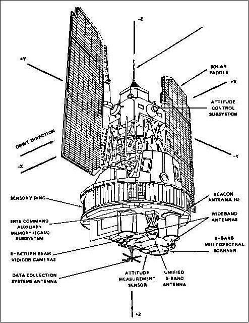
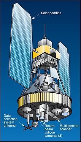
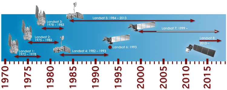
Landsat 1, originally named "Earth Resources Technology Satellite 1", was the first satellite of the United States' Landsat program. It was a modified version of the Nimbus 4 meteorological satellite and was launched on July 23, 1972 by a Delta 900 rocket from Vandenberg Air Force Base in California. The near-polar orbiting spacecraft served as a stabilized, Earth-oriented platform for obtaining information on agricultural and forestry resources, geology and mineral resources, hydrology and water resources, geography, cartography, environmental pollution, oceanography and marine resources, and meteorological phenomena.
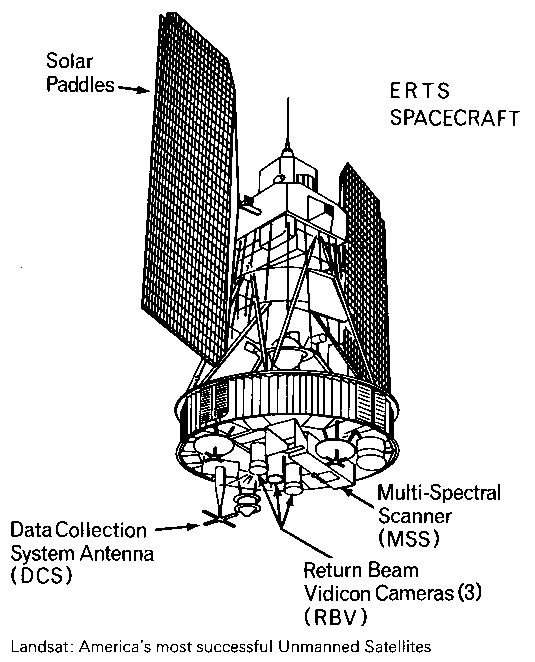
To accomplish these objectives, the spacecraft was equipped with:
The satellite also carried two wide-band video tape recorders (WBVTR) capable of storing up to 30 minutes of scanner or camera data, giving the spacecraft's sensors a near-global coverage capability.
An advanced attitude control system consisting of horizon scanners, sun sensors, and a command antenna combined with a freon gas propulsion system permitted the spacecraft's orientation to be maintained within plus or minus 0.7 degrees in all three axes. Spacecraft communications included a command subsystem operating at 154.2 and 2106.4 MHz and a PCM narrow-band telemetry subsystem, operating at 2287.5 and 137.86 MHz, for spacecraft housekeeping, attitude, and sensor performance data. Video data from the three-camera RBV system was transmitted in both real-time and tape recorder modes at 2265.5 MHz, while information from the MSS was constrained to a 20 MHz radio-frequency bandwidth at 2229.5 MHz.
In 1976, Landsat 1 discovered a tiny uninhabited island 20 kilometers off the eastern coast of Canada. This island was thereafter designated Landsat Island after the satellite.
The spacecraft was turned off on January 6, 1978, when cumulative precession of the orbital plane caused the spacecraft to become overheated due to near-constant exposure to sunlight.