Elevation 88 m (289 ft) Time zone CET (UTC+1) Area 15.59 km² Local time Sunday 10:45 AM | Demonym(s) Landrianini Dialing code 0382 Postal code 27015 Dialling code 0382 | |
 | ||
Weather 13°C, Wind E at 10 km/h, 31% Humidity | ||
Spot no slot 2016 landriano 3b
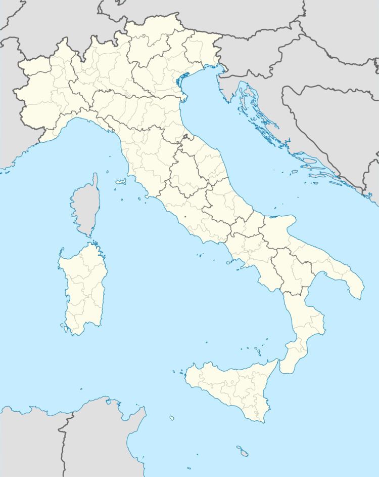
Landriano is a comune (municipality) in the Province of Pavia in the Italian region Lombardy, located about 20 kilometres (12 mi) southeast of Milan and about 15 kilometres (9 mi) northeast of Pavia.
Contents
Map of 27015 Landriano Province of Pavia, Italy
Landriano borders the following municipalities: Bascapè, Carpiano, Siziano, Torrevecchia Pia, Vidigulfo. It is located on the left shore of the Lambro, which here forms an islet which is the site of the old town's castle.
In 1529 it was the location of the battle of Landriano between France and Spain.
References
Landriano Wikipedia(Text) CC BY-SA
