
Highest elevation 2,516 m (8,255 ft) Area 8,807 km² | GB/T 2260 CODE 530828 Lowest elevation 578 m (1,896 ft) Elevation 1,110 m Area code 0879 | |
 | ||
Time zone China Standard Time (UTC+8) | ||
Lancang Lahu Autonomous County (simplified Chinese: 澜沧拉祜族自治县; traditional Chinese: 瀾滄拉祜族自治縣; pinyin: Láncāng lāhùzú Zìzhìxiàn) is an autonomous county under the jurisdiction of Pu'er City, in southwestern Yunnan province, China. Lancang is the same as Lan Xang, and refers to the Mekong River (known in Chinese as the Lancang) on its eastern borders and adopted by modern Laos, a Tai word meaning Million Elephants.
Contents
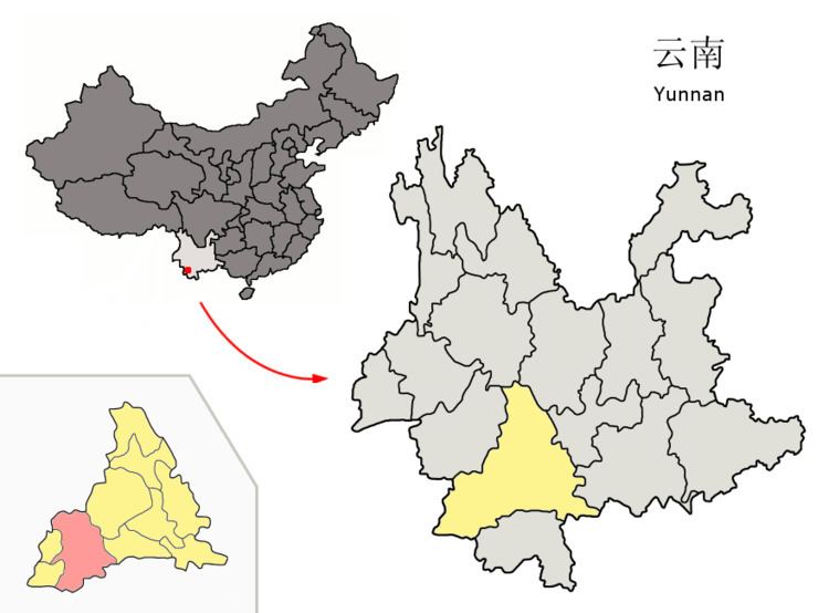
Map of Lancang, Pu'er, Yunnan, China
Demography
A large portion of the population are of Lahu ethnicity, and Lahu language is one of the official languages in the county.
The Aciga 阿茨戛 people of Lancang County number about 50 individuals, and are located in Yakou Township 雅口乡 and Nanxian Township 南现乡 (You 2013:134). Their original language has become extinct, and the Aciga now speak Chinese and Yi. The Aciga are currently classified by the Chinese government as ethnic Yi.
Geography and climate
Lancang County is located in southwestern Yunnan below the Tropic of Cancer, spanning latitude 22°01'−23°16' N and longitude 99°29'−100°35' E and an area of 8,807 km2 (3,400 sq mi), making it the second-largest county in the province in terms of area. It has an international border with Burma's Shan State totaling 80.563 km (50.060 mi) in length. It is heavily mountainous and situated among the Hengduan Mountains, with the elevation ranging from 2,516 m (8,255 ft) at Mount Malihei (麻栗黑山) in Xincheng Township (新城乡) to 578 m (1,896 ft) in Yakou Township (雅口乡).
Lancang County contains elements of both a tropical wet and dry climate and a humid subtropical climate (Köppen Aw and Cwa, respectively), and is generally humid. Summer is long and there is virtually no "winter" as such; instead, there is a dry season (December thru April) and wet season (May thru October). A drier heat prevails from February thru early May before the onset of the monsoon from the Indian Ocean. The monthly 24-hour average temperature ranges from 15.0 °C (59.0 °F) in January to 24.6 °C (76.3 °F) in June, while the annual mean is 20.86 °C (69.5 °F). Rainfall totals about 1,580 mm (62 in) annually, with nearly 70% of it occurring from June to September, when relative humidity averages above 85%. With monthly percent possible sunshine ranging from 24% in July to 70% in February, the county receives 2,116 hours of bright sunshine annually.