
Elevation + 5 m (16 ft) Area code(s) +62 322 Area 1,782 km² Population 1.212 million (2014) | Capital Lamongan Time zone +7 Website www.lamongankab.go.id | |
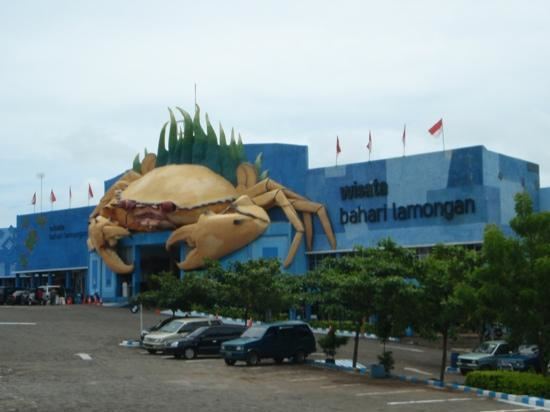 | ||
Colleges and Universities Darul Ulum Islamic University Lamongan, Universitas Islam Lamongan - UNISLA Points of interest Lamongan Marine Tourism, Maharani Zoo & Goa, Pantai Kutang, Area Makam Sunan Dr, Makam Sunan Sendang | ||
Lamongan Regency is a regency (kabupaten) of East Java, Indonesia, with an area of 1,782.05 km2 (688.05 sq mi).‹See TfD› At the 2010 Census it had a population of 1,179,059; the latest estimate (as at 2014) is 1,212,179.
Contents
Map of Lamongan Regency, East Java, Indonesia
Lamongan Regency is surrounded by:
The economy is mainly supported by agriculture, fishery, and commerce, especially home industry.
Paciran Port
On April 29, 2013 (Class I ASDP) Paciran Port is officially opened to support overloaded Tanjung Perak Port.
Administration
The Lamongan Regency was divided into 27 districts (kecamatan) :
Climate
Lamongan has a tropical climate with an average annual temperature of 28.2°C, average precipitation of 1502.2 mm, average number of days with precipitation of 104.5 days, average length of day of 12.5 hours, average relative humidity of 76.5% and average annual wind speed of 11.8 km/h.