
Country United States Time zone CST (UTC-6) Area 97.62 km² Population 1,122 (2010) | Established November 6, 1849 Elevation 245 m Local time Saturday 9:00 PM | |
 | ||
ZIP codes 61330, 61349, 61356, 61374 Weather -3°C, Wind N at 8 km/h, 34% Humidity | ||
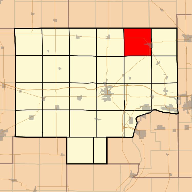
La Moille Township is one of twenty-five townships in Bureau County, Illinois, USA. As of the 2010 census, its population was 1,122 and it contained 491 housing units.
Contents
- Map of La Moille IL USA
- Geography
- Cities
- Unincorporated towns
- Cemeteries
- Major highways
- School districts
- Political districts
- References
Map of La Moille, IL, USA
La Moille Township was named after the Lamoille River valley, in Vermont.
Geography
According to the 2010 census, the township has a total area of 37.69 square miles (97.6 km2), of which 37.67 square miles (97.6 km2) (or 99.95%) is land and 0.01 square miles (0.026 km2) (or 0.03%) is water.
Cities
Unincorporated towns
(This list is based on USGS data and may include former settlements.)
Cemeteries
The township contains these four cemeteries: Greenfield, North Prairie, Union and Van Orin Repose.
Major highways
School districts
Political districts
References
Lamoille Township, Bureau County, Illinois Wikipedia(Text) CC BY-SA