
Length 137 km Country United States of America | Source Horse Pond | |
 | ||
Bridges Fisher Covered Railroad Bridge, Mill Covered Bridge Similar Lake Champlain, Mount Mansfield, Fisher Covered Railroad, Montgomery Covered Bridge, Poland Covered Bridge | ||
Fall n flops fly fishing the lamoille river in vermont
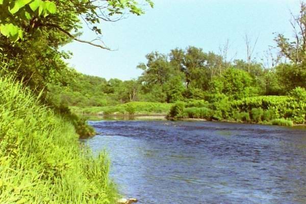
The Lamoille River is a river which runs through northern Vermont and drains into Lake Champlain. It is about 85 miles (137 km) in length, and has a drainage area of around 706 square miles (1,830 km2). The river generally flows southwest, and then northwest, from the water divide of the Green Mountains, and is the namesake of Lamoille County, Vermont. The river's valley also gave its name to the now-defunct Lamoille Valley Railroad Company, successor to the St. Johnsbury and Lamoille County Railroad.
Contents
- Fall n flops fly fishing the lamoille river in vermont
- Map of Lamoille River Vermont USA
- Cambridge vermont lamoille river flooding 26 feb 2017
- References
Map of Lamoille River, Vermont, USA
Legend has it that early French settlers named the river "La Mouette" meaning "The Seagull". However, a cartographer subsequently forgot to cross the t's, which led people to begin calling it "La Moulle". Over time, this became "Lamoille".
Cambridge vermont lamoille river flooding 26 feb 2017
References
Lamoille River Wikipedia(Text) CC BY-SA