
OS grid reference SU321757 Local time Sunday 1:24 AM | Sovereign state United Kingdom | |
 | ||
Weather 8°C, Wind S at 6 km/h, 88% Humidity | ||
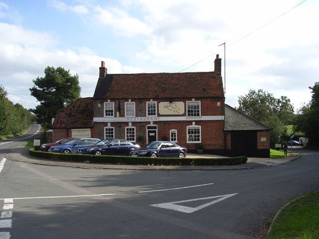
Lambourn Woodlands is a small village in the English county of Berkshire.
Map of Lambourn Woodlands, Hungerford, UK
The village is situated in the civil parish of Lambourn (where the 2011 Census population was included), and is 2 miles (3.2 km) to the south of the village of Lambourn. The parish is within the unitary authority of West Berkshire, close to the border between the counties of Berkshire and Wiltshire.
Lambourn Woodlands is located on the route of Ermin Street, the Roman road which connected Calleva Atrebatum (today's Silchester) to Glevum (Gloucester). The Ermin Street's route through the village is used by the today's high level road (B4000) from Newbury to Lambourn.
The modern M4 motorway passes just to the south of the village, and its Membury service area is less than 1 mile (1.6 km) to the west. However the nearest motorway access point (J14) is some 3 miles (4.8 km) to the east, between Shefford Woodlands and Hungerford Newtown.
The mast of the Membury transmitting station, adjacent to the service area, is visible from a considerable distance.