
Airport type Public Elevation AMSL 3,706 ft / 1,130 m 18/36 6,304 Phone +1 719-336-4376 | Website www.ci.lamar.co.us/... 6,304 1,921 Code LAA Owner City of Lamar | |
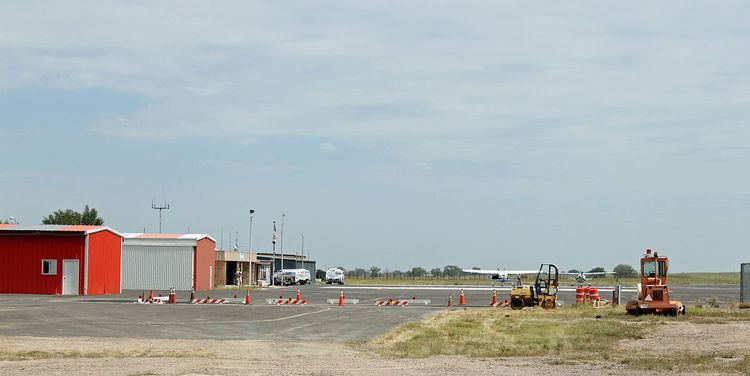 | ||
Lamar Municipal Airport (IATA: LAA, ICAO: KLAA, FAA LID: LAA) is in Prowers County, Colorado, three miles southwest of Lamar, which owns it. The National Plan of Integrated Airport Systems for 2011–2015 called it a general aviation facility.
Airline flights (Central DC-3s) started about 1957; commuter airlines replaced successor Frontier in 1976-77.
Facilities
The airport covers 557 acres (225 ha) at an elevation of 3,706 feet (1,130 m). It has two runways: 18/36 is 6,304 by 100 feet (1,921 x 30 m) concrete and 8/26 is 5,001 by 60 feet (1,524 x 18 m) asphalt.
In 2010 the airport had 13,508 aircraft operations, average 37 per day: 65% general aviation, 26% air taxi, and 9% military. 33 aircraft were then based at this airport: 73% single-engine, 24% multi-engine, and 3% jet.