
Website Official Map of Lalpur | Time zone BST (UTC+6) Area 327.9 km² | |
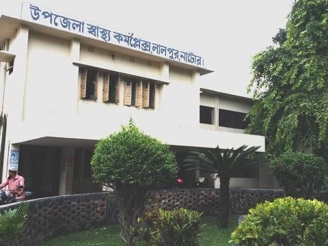 | ||
Lalpur (Bengali: লালপুর) is an Upazila of Natore District in the Division of Rajshahi, Bangladesh.
Contents
Map of Lalpur Upazila, Bangladesh
Geography
Lalpur is located at 24.1833°N 88.9750°E / 24.1833; 88.9750 . It has 39,448 households and total area 327.92 km².
Climate
It's located in an area which is both the hottest and the coldest in Bangladesh. If temperature comes down to a mild 3 or 3.5 °C at winter, it comes up to 43 °C at summer.
All the year round, temperature remains hottest simultaneously rainfalls are recorded lowest in this part of Bangladesh.
Demographics
As of the 1991 Bangladesh census, Lalpur has a population of 216973. Males constitute 51.71% of the population, and females 48.29%. This Upazila's eighteen up population is 108782. Lalpur has an average literacy rate of 24.2% (7+ years), and the national average of 32.4% literate.
Administration
Lalpur has 10 Unions/Wards, 211 Mauzas/Mahallas, and 228 villages.