
Country Nepal Time zone NPT (UTC+5:45) Area 385 km² | Website www.ddclalitpur.gov.np Zone Bagmati Zone | |
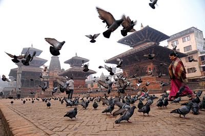 | ||
Region Central Development Region, Nepal Colleges and Universities Nepal College of Informatio, Kantipur Engineering College, Kathmandu College of Management, Lord Buddha Educatio Points of interest Kathmandu Valley, Patan Durbar Square, Pashupatinath Temple, Hanuman Dhoka, Central Zoo | ||
Lalitpur District (Nepali: ललितपुर जिल्ला Listen , a part of Province No. 3, is one of the seventy-five districts of Nepal, a landlocked country of South Asia. The district, with Lalitpur as its district headquarters, covers an area of 385 km² and has a population (2001) of 337,785. It is one of the three districts in the Kathmandu Valley, along with Kathmandu and Bhaktapur. Its population was 466,784 in the initial 2011 census tabulation.It is sourrounded by Makwanpur & bhaktapur & Kathmandu & Kavre.
Contents
- Map of Lalitpur Nepal
- Municipalities
- Village Development Committees VDC
- Other places
- Education
- Sports
- References
Map of Lalitpur, Nepal
Municipalities
Village Development Committees (VDC)
Other places
Education
Lalitpur District has adequate education facilities in comparison to other districts, including:
Sports
Lalitpur is also home to several notable sporting organisations and grounds such as:
References
Lalitpur District, Nepal Wikipedia(Text) CC BY-SA