
Country Nepal Development Region Central Area 119 km² Local time Monday 1:12 PM | Zone Bagmati Time zone NPT (UTC+5:45) Population 304,651 (2011) | |
 | ||
Weather 22°C, Wind W at 10 km/h, 21% Humidity | ||
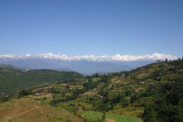
Bhaktapur district(Nepali: भक्तपुर जिल्ला Listen ; Nepal Bhasa : ख्वप देश (जिल्ला) ) located in the eastern part of Kathmandu valley, is the smallest among the seventy-five districts of Nepal. It is part of Province No. 3. The district, with Bhaktapur as its district headquarters, covers an area of 119 km2 (46 sq mi) and in 2011 had a population of 304,651 of whom 9,701 people were absent (mostly working abroad).
Contents
Map of Bhaktapur, Nepal
Education
Bhaktapur has been making tremendous achievements in educational sector. It has been enrolling most of the students in SLC. In fact, The students of Bhaktapur have top the board exams.
The average literacy rate of Bhaktapur is 81.68, where male - 90.48 and female - 72.65 which growing with the educational awareness among peoples.
The governmental schools in Bhaktapur are making remarkable improvement in its educational quality. The government schools have been starting to facilitate students by teaching in both English and Nepali medium.Private schools too are well known for providing quality education.
Despite topping other districts in SLC with highest enrollments, the higher studies of the Bhaktapur is not quite satisfactory. There is not enough college in Bhaktapur rendering qualitative services. That's why, students of Bhaktapur complete their higher studies in colleges of Kathmandu and Lalitpur. However, their academic performance in those college cannot be neglected. Khwopa College situated in Dekocha Bhaktapur is one of topmost college in Nepal. The academic results of this college is outstanding. This college is established and managed by Bhaktapur municipality.
Health care
Bhaktapur lags behind to Kathmandu District and Lalitpur District when it comes to medical service.Bhaktapur does not have enough hospitals rendering Qualitative medical facilities.
However, the only cancer hospital Bhaktapur Cancer Hospital, National Tuberculosis Centre and Ayurvedic Centre is located in Bhaktapur.Recently, the Government of Nepal has decided to transfer Bir hospital, the oldest hospital in Nepal, to Duwakot,Bhaktapur.
Municipalities
As of 2014, there are no more Village Development Committees in the district.