Established 2 February 2009 Elevation 171 m Area code 047 Dialling code 47 | Time zone PST (UTC+5) Local time Sunday 3:31 AM | |
 | ||
Weather 9°C, Wind NE at 6 km/h, 89% Humidity | ||
Lalian (Punjabi: لالیاں) is a city in the Chiniot District of Punjab province, in Pakistan. It is located at 31°49'21N 72°47'50E with an altitude of 171 metres (564 feet) and is situated on the Faisalabad-to-Sargodha road. It is named after "Mian Muhammad Siddiq Lali", a Muslim saint of Lali tribe. According to the census of 1998, Lalian holds total population of 90,000. The total number of households was 4436.
Contents
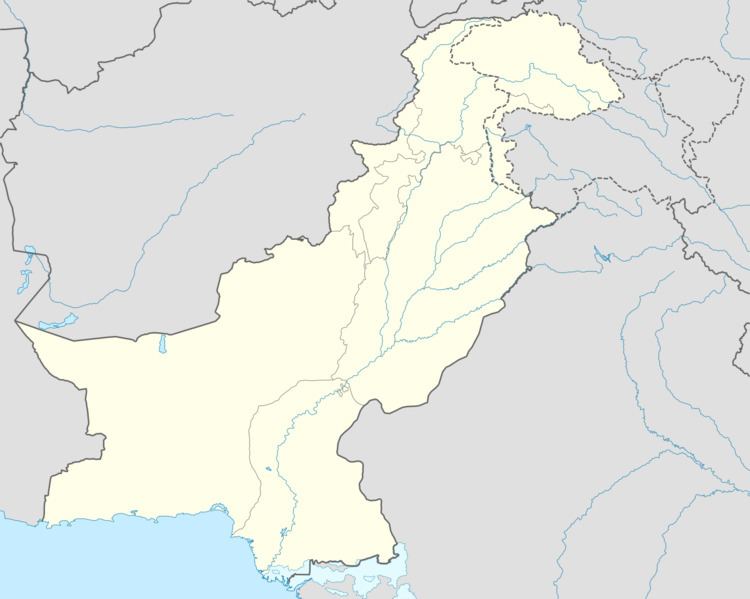
Map of Lalian, Pakistan
Government
Lalian was made town committee along with Garh Maharaja in 1928, and with the establishment of Chiniot District it became tehsil in 2009. Lalian is the only transit market for more than 100 villages, so it assumes a great economic importance. At present the population of Lalian is not less than 2 lakhs. It has digital telephone exchange, broad band internet connection and other facilities of communication. A picnic park is prepared in Lalian now which is named Mian Muhammad Siddique Lali Park near the Office of Assistant Commissioner. The overall incharge of the Tehsil is Assistant Commissioner by his designation. The following Assistant Commissioners have served in Sub Division Lalian since its creation.
History
Initially this place was a village with land mainly owned by Lali clan, and a place where different sub tribes of Lali clan used to reside., family of Lali clan is currently a politically powerful family of the area. Details about Lali Clan are to be found in books named Kulyat_e_Sadiqquie, and Kulyat-e-Lali, written by Professor Riaz Ahmed Shad. The author has traced the history of Lali clan and linked them with the great Muslim hero, Tipu Sultan. The police station of Lalian was established in 1867 during the British rule, the high school was also established during the British rule in 1918 as was the Rural Health Center. It has a technical training center managed under TEVTA and also has a veterinary hospital. Nadra office is shifted in Lalian on 11-07-2011 which is operating near grain market.
Lalian is facing problems in health, education and veterinary sectors. Rural Health center is unable to provide quality health facilities to residents as it has no emergency and no ambulance, and no available gynecologist and awaits upgradtion into THQ hospital to cater to the local people. Veterinary Hospital is also insufficient to meet the ever-growing needs in the field of livestock. The technical training center lacks enrollment due to out fashioned and useless variety of courses provided and need to be upgraded with new career oriented courses and training to ensure better enrollment. Education is in need of great improvement with Science classed to be started at Inter and graduation level so that quality education be provided to ensure the bright future. Roads are also not in a good condition and as economy depends on good infrastructure, so it must be improved.
The nearest towns are Jallay Wala ( Chak 46 S.B), Ahmeda Nagar, Chenab Nagar, and the nearest villages are Dawar, Kanwawala, Pakka Nissoana Winokay, Kahana Thatta, Chak Bahadur, Mohsinabad, Kot Ismaile, Saghray Wala, Bhabhrana Jakku wala, Kandiwal, Kot Qazi, Pilo Wal Sadiqa, Jabana, Bhian Wala, Mohal, Chok Madad Ali, Sangra, Saboowalla, Thatti Bala Raja, Walla, Tarkhana Wala, Jaisal, Barrana, Pir Panja, Ghousayalla, Panjaywala, Ganja, Kallas, Muhammad Wala, Mamola, Kalri, Bullayalla, Thatta Umera,Thatta Mian Lala,Burani, Thatta Haryan, Anayatpur, Sarderalla, Sujawalealla, Kot Amir, Kot Sultan, Kot KhudaBaksh, Katcheri, Mehran Baqar, Sheikhan Shehar, Chak 54 N, Chak 55 N, chak 58 qasayan wala and chak 58 qasayan wala barial adda and most famous Pathan da chak 56,
