
Primary inflows | Surface elevation 297 m | |
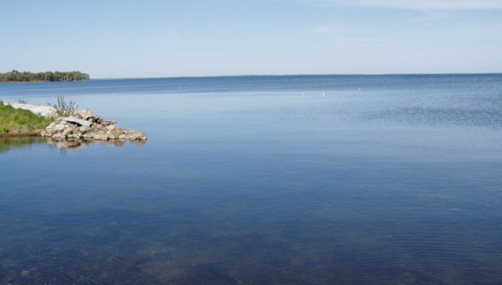 | ||
Lake Traverse is the southernmost body of water in the Hudson Bay watershed of North America. It lies along the border between the U.S. states of Minnesota and South Dakota. A low continental divide separates the land at the southern shore of Lake Traverse from the Little Minnesota River, which is part of the Mississippi River System and flows within a mile of the lake near the town of Browns Valley, Minnesota and Wheaton, Minnesota.
Map of Lake Traverse, United States
Lake Traverse is an Anglicization of Lac Traverse, a French name meaning "across the lake".
Prehistorically, the south end of Lake Traverse was the southern outlet of glacial Lake Agassiz across the Traverse Gap into Glacial River Warren; that river carved the valley now occupied by the present-day Minnesota River.
Lake Traverse is drained at its north end by the northward-flowing Bois de Sioux River, a tributary of the Red River of the North. A U.S. Army Corps of Engineers dam at the outflow regulates the lake's level. The Mustinka River flows into the lake just above the dam.