
Max. length 35 mi (56 km) Area 152 km² Length 56 km | Basin countries United States Max. width 2 mi (3.2 km) Surface elevation 24 m Mean depth 3.05 m | |
 | ||
Primary inflows Catchment area 17,200 sq mi (44,548 km) Inflow source Flint River, Chattahoochee River | ||
Lake Seminole is a reservoir located in the southwest corner of Georgia along its border with Florida, maintained by the U.S. Army Corps of Engineers. The Chattahoochee and Flint rivers join in the lake, before flowing from the Jim Woodruff Lock and Dam, which impounds the lake, as the Apalachicola River. The lake contains 37,500 acres (152 km2) of water, and has a shoreline of 376 mi (605 km). The fish in Lake Seminole include largemouth bass, crappie, chain pickerel, catfish, striped bass and other species. American alligators, snakes and various waterfowl are also present in the lake, which is known for its goose hunting.
Contents
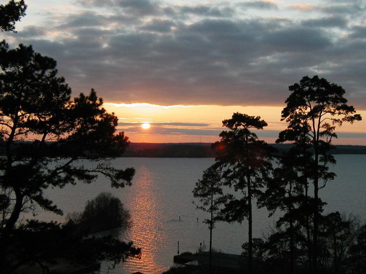
- Map of Lake Seminole United States
- HistoryEdit
- Jim Woodruff DamEdit
- NavigationEdit
- ParksEdit
- San Carlos de los ChacatosEdit
- References
Map of Lake Seminole, United States
HistoryEdit
Authorised by the United States Congress in the Rivers and Harbors Act of 1946 as the Jim Woodruff Lock and Dam Project, construction began the following year. With the dam completed in 1952, in 1957 the lake was opened. The project was expected to cost $29 million USD, but when completed had required $46.5 million USD.
In 2000 a Tallahassee man, Michael Williams, apparently drowned during a duck-hunting accident on the Jackson County side of the lake. However, his body was never found after a 44-day search, the only time a body has never been recovered after a drowning on the lake. Searchers assumed it had been eaten by alligators, but several years later learned that alligators do not feed in winter. Other oddities with the incident convinced them to suspect foul play; the case remains under investigation.
Jim Woodruff DamEdit
The Jim Woodruff Dam, located about 1,000 feet (300 m) south of the original confluence of the Chattahoochee River, Flint River and Spring Creek to form the Apalachicola River and with a spillway 2,224 feet (678 m) wide, is a hydroelectric and navigational dam named in honor of James W. Woodruff, Sr., a Georgia businessman who spearheaded the development of the Apalachicola-Chattahoochee-Flint Project.
The dam crosses the state line between Georgia and Florida, with the eastern end of the dam being located in Georgia.
NavigationEdit
The Jim Woodruff Dam has a single lock, 450 feet (140 m) in length and 82 feet (25 m) wide, that provides navigational access to the lake and the upstream rivers from the Apalachicola River and Gulf of Mexico. Lake Seminole extends upstream along the Chattahoochee River for 30 miles (48 km) and up the Flint River for 35 miles (56 km).
ParksEdit
The U.S. Army Corps of Engineers maintains 10 parks along the shore of the lake, with 35 parks in total available for recreation, including five campgrounds. Seminole State Park covers 604 acres (244 ha) of lakeshore in Georgia, while Three Rivers State Park covers 686 acres (278 ha) of wetland north of Sneads, Florida.
San Carlos de los ChacatosEdit
The West Bank Overlook at the western end of the dam is the location of the Spanish mission San Carlos de los Chacatos, established in 1674 following a revolt by the Chacato. Used by both Marcos Delgado and Don Laureano de Torres y Ayala on their expeditions, the mission was attacked by Alibamu warriors in 1696, then later by British forces led by Colonel James Moore during Queen Anne's War and abandoned.
Resettled during the Creek War in 1813 by Uchee refugees, the site was abandoned again in 1818 during the First Seminole War, and was not rediscovered until 1948 during archaeological work by the Florida Park Service supporting the construction of Lake Seminole.