
Surface area 29,350 acres (119 km) Surface elevation 193 m | Area 118.8 km² | |
 | ||
Similar Lewisville Lake, Grapevine Lake, Lavon Lake, Ray Roberts Lake Stat, Joe Pool Lake | ||
2014 texas team trail lake ray roberts
Lake Ray Roberts (formally Ray Roberts Lake) is a 29,350-acre (119 km2) reservoir located 10 miles (20 km) north of Denton, Texas, between the cities of Pilot Point, Texas and Sanger, Texas. It is filled by a tributary of the Trinity River.
Contents
- 2014 texas team trail lake ray roberts
- Map of Lake Ray Roberts Texas USA
- 2015 show 11 lake ray roberts skeeter bass champs w fish fishburne
- References
Map of Lake Ray Roberts, Texas, USA
It was named after Ray Roberts (a local congressman who supported creation of the lake) in 1980.
The reservoir is located in, and supplies water to, Cooke, Grayson, and Denton counties.
On March 2, 1945, the U.S. Congress approved the River & Harbors Act of 1945 which, among many projects, provided for the construction of Benbrook Lake, Grapevine Lake, Lavon Lake and Ray Roberts Lake, as well as modifications to the existing Garza Dam for the construction of Lewisville Lake. Ray Roberts Dam, an earthen structure 141 feet high, is owned and operated by the United States Army Corps of Engineers.
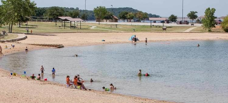
Ray Roberts is also used for recreation and is home to the Ray Roberts Lake State Park.